Disclosure : This site contains affiliate links to products. We may receive a commission for purchases made through these links.
Antigua and Barbuda

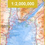
Double-sided map from a Caribbean-based cartographer Michal Kasprowski showing on one side Antigua at 1:30,000 with a street plan of St. John’s and on the reverse Barbuda at 1:35,000 with a street plan of Cordington, both with indexes of streets and roads. On both islands the maps indicate various facilities and places of interest, including beaches, shipwrecks in the coastal waters, and along Antigua’s southern coast over 30 diving sites listed in a separate index. On Antigua topography of the Shakerley Mountains is shown by contours at 50m intervals and relief shading. Latitude and longitude lines on both islands are drawn at 2’ intervals.

Related Products:
 The Antigua and Barbuda Companion
 Antigua and Barbuda – A Little Bit of Paradise
 Antigua & Dominica ITMB
 Antigua and Barbuda Insight Compact Guide SUPERCEDED
 Tahiti & Cook Islands ITMB
 Flag of Antigua & Barbuda
 Antigua and Barbuda Flag – 1/2 yard – Printed
 Antigua and Barbuda Flag – 1/2 yard – Sewn
Antigua and Barbuda Flag – 3/4 yard – Sewn
Antigua and Barbuda Flag – 3/4 yard – Printed
Antigua and Barbuda Flag – 1 yard – Sewn
Antigua and Barbuda Flag – 1 yard – Printed
Antigua and Barbuda Flag – 1/2 yard – Sewn
Antigua and Barbuda Flag – 3/4 yard – Sewn
Antigua and Barbuda Flag – 3/4 yard – Printed
Antigua and Barbuda Flag – 1 yard – Sewn
Antigua and Barbuda Flag – 1 yard – Printed
 Red Sea Gizi Map
 Red Sea Wall Map
 Fiji & Tonga ITMB
 Virgin Islands (US and British) ITMB
 New Guinea (Papua New Guinea and Indonesia) ITMB
Providenciales / Provo – Turks & Caicos Islands
New Guinea (Papua New Guinea and Indonesia) ITMB
Providenciales / Provo – Turks & Caicos Islands
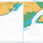
 Antigua CNIG Topo 1093
 Cayman Islands & Jamaica ITMB
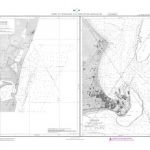
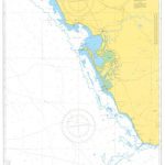
A271 Antigua North Coast
Cayman Islands & Jamaica ITMB
A271 Antigua North Coast
 Bahamas ITMB
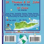 US Virgin Islands Adventure and Dive Map/Guide
 St Eustatius / Statia
 St. Kitts and Nevis
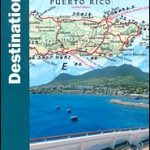 The Caribbean Destination Map
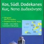 Kos – Southern Dodecanese Kompass 252
 Martinique & Guadeloupe ITMB
 Belize & Eastern Guatemala ITMB
 Aruba
Aruba
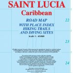 Saint Lucia
 Great Abaco – Bahamas Franko Adventure & Dive Map-Guide
 Okinawa & the Ryukyu Islands Periplus Travel Map
 Hawaii & Honolulu ITMB
 Saudi Arabia & Kuwait ITMB
 Accra & Ghana South ITMB
 Jordan & Syria ITMB
 Madagascar ITMB
 Canary Islands ITMB
New Zealand ITMB
Canary Islands ITMB
New Zealand ITMB