Disclosure : This site contains affiliate links to products. We may receive a commission for purchases made through these links.
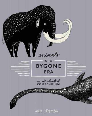
Animals of a Bygone Era: An Illustrated Compendium

Related Products:
 Amazing Facts About Baby Animals: An Illustrated Compendium
 A Barrel of Monkeys: A Compendium of Collective Nouns for Animals
 The Illustrated Compendium of Amazing Animal Facts
 Lost in Translation: An Illustrated Compendium of Untranslatable Words
 The Gin Lane Gazette: A Profusely Illustrated Compendium of Devilish Scandal and Oddities from the Darkest Recesses of Georgian England
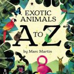 The Curious Explorer`s Illustrated Guide to Exotic Animals A to Z
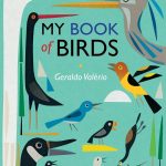 My Book of Birds: A Beautifully Illustrated Compendium of Birds
 Animals of the World Illustrated Kruger & Schonhoff Wall Map
 Animals of the World Illustrated Kruger & Schonhoff Map Desk Mat
 Animals at Home: Match 27 animals to their homes
 The Day of the Dead: A Visual Compendium
 A Conspiracy of Ravens: A Compendium of Collective Nouns for Birds
 Iconotypes: A compendium of butterflies and moths. Jones`s Icones Complete
 Edible Wild Plants & Herbs: A Compendium of Recipes and Remedies
 The Book Lovers` Anthology: A Compendium of Writing About Books, Readers and Libraries
 A Field Guide to the English Clergy: A Compendium of Diverse Eccentrics, Pirates, Prelates and Adventurers; All Anglican, Some Even Practising
 The Manchester Compendium
 The London Compendium
 Games Compendium
 Campbell`s Weather Compendium
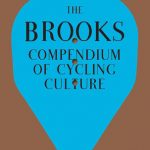 The Brooks Compendium of Cycling Culture
 Concise Compendium of the World`s Languages
 Philip Matyszak`s Classical Compendium
 Cartographic Science – A Compendium of Map Projections
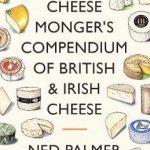 A Cheesemonger`s Compendium of British & Irish Cheese
 Smoothly from Harrow: A Compendium for the London Commuter
 Irelandopedia: A Compendium of Maps, Facts and Knowledge
 Vargic`s Curious Cosmic Compendium: Space, the universe and everything within it
 The Bird Book: A curious compendium of 50 wild birds
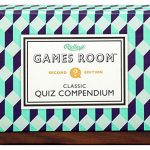 Ridley`s Games Room Quiz Compendium – Second Edition
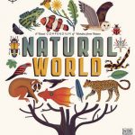 The Curiositree: Natural World: A Visual Compendium of Wonders from Nature
 Tallest Tower, Smallest Star: A Pictorial Compendium of Comparisons
 Revised IMO Compendium on Facilitation & Electronic Business, 2014 Edition – E-Reader
 The Big Book of Giant Animals: The Little Book of Tiny Animals
 An Atlas of Countries That Don`t Exist: A Compendium of Fifty Unrecognized and Largely Unnoticed States
 100 First Animals
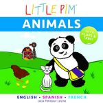 Little Pim: Animals
 199 Animals
 Pop-Up Animals
 A to Z Of Animals