Disclosure : This site contains affiliate links to products. We may receive a commission for purchases made through these links.
Angola ITMB
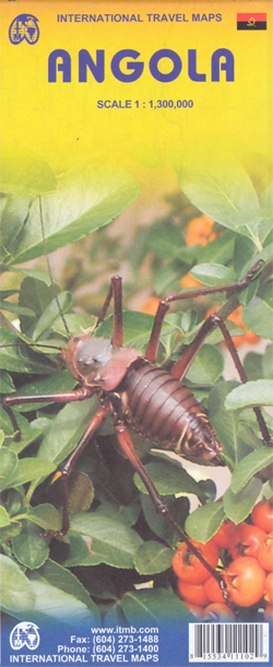
Angola at 1:1,300,000 on a double-sided indexed map from ITMB with a large, clear street plan of central Luanda. Altitude colouring shows the country’s topography, with additional spot heights. Swamps, salt pans and desert areas are marked.The map shows the country’s road and rail networks, including numerous seasonal tracks. Intermediate distances are marked on main routes and locations of petrol stations are indicated. National parks are prominently marked and symbols highlight various places of interest, including selected hotels and campsites.The map has latitude and longitude grid at intervals of 1ยบ and an index of localities. Also included is a large, clear street plan of central Luanda.


