Disclosure : This site contains affiliate links to products. We may receive a commission for purchases made through these links.
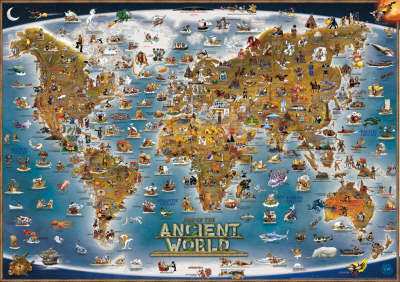
Ancient World – Children`s Map OUT OF PRINT

Related Products:
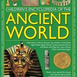 Children`s Encyclopedia of the Ancient World
 Children Who Changed the World: Incredible True Stories About Children`s Rights!
 World Tree Story: History and Legend of the World`s Ancient Trees
 The World`s Worst Children
 The World`s Worst Children 2: 2
 The World`s Worst Children 3
 Children`s World Atlas
 Welcome to Our World: A Celebration of Children Everywhere!
 The World Of Ancient Civilisations
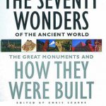 The Seventy Wonders of the Ancient World
 Cities That Shaped the Ancient World
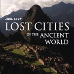 Lost Cities of the Ancient World
 Family Adventures: Exploring the World with Children
 Explore the World Game & Children`s World Map
 The Seventy Great Mysteries Of The Ancient World
 Battling the Gods: Atheism in the Ancient World
 Delphi: A History of the Center of the Ancient World
 World History: From the Ancient World to the Information Age
 The Ancient Greeks: Ten Ways They Shaped the Modern World
 Inventing Wine: A New History of One of the World`s Most Ancient Pleasures
 Voices from the Second World War: Witnesses share their stories with the children of today
 World Children`s Illustrated Political Kruger & Schonhoff Wall Map
 In the Shadow of the Sword: The Battle for Global Empire and the End of the Ancient World
 How to Win a Roman Chariot Race: Lives, Legends and Treasures from the Ancient World
 Five Children on the Western Front: Inspired by E. Nesbit`s Five Children and it Stories
 Stanfords General Map of the World (1920) 60×80 Art Print
 The Ancient Greek World
 Wonders of the Ancient World
 World Collins Children`s Wall Map
 Children`s Illustrated World Atlas
 One Moment in Time: Children Around the World
 Children of the World Memory Game
 The Great Empires of the Ancient World
 The Ancient Egyptians – Their lives and their world
 Legendary Sites Of The Ancient World
 Exploring The World of the Ancient Greeks
The Routledge History of the Ancient World
Exploring The World of the Ancient Greeks
The Routledge History of the Ancient World
 Stanfords New Library Chart of the World (1920) 60×80 Canvas Print
 Stanford`s General Map of the World (1920) – A1 Wall Map, Paper – Print on Demand
 Stanford`s Library Map of the World (1879) – A1 Wall Map, Paper – Print on Demand