Disclosure : This site contains affiliate links to products. We may receive a commission for purchases made through these links.
Amsterdam Red Maps
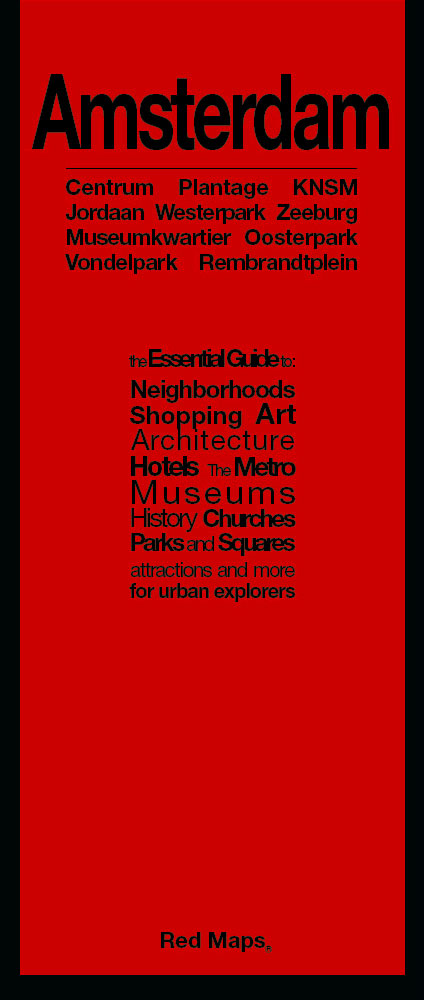
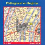
Amsterdam with an enlargement for its historic centre on a tourist street plan from Red Maps presented in a handy concertina format and printed on thick high quality paper, with thematic indexes for sights, hotels, shopping, etc.The map offers two street plans: the city central districts including the museum quarter, extending east to include the eastern docks with KNSM island for examples of modern Dutch architecture, plus an enlargement showing in much greater detail Amsterdam’s historic heart. It’s a pity that on both maps the name of the Jordaan, a popular district with visitors, is shown in the wrong place.The plans name tourist sights and important buildings, entertainment venues, selected hotels, etc. Also highlighted are main shopping streets with names of selected individual stores. On both plans tram routes are clearly shown with stops and line numbers.On the reverse are thematic lists of sights and important buildings, hotels, etc. A special panel provides area-by-area recommendation of (mainly fashion) shops. An index lists neighbourhoods, major streets and canals.To see other street plans from Red Maps with similar presentation please click on the series link.

Related Products:
 Dublin Red Maps
 Vienna Red Maps
 Milan Red Maps
 Barcelona Red Maps
 New York City Red Maps
 Madrid and Seville Red Maps
 Chicago Red Maps
 Berlin – Potsdam Red Maps
 Paris Red Maps
 Florence Red Maps
 Washington DC Red Maps
 New York City – Brooklyn – Long Island City Red Maps
 Los Angeles Red Maps
 Red Maps Street Plans
 Rome Red Maps
 London Red Maps
 Venice Red Maps
 Philadelphia Red Maps
 San Francisco Red Maps
 Miami – South Beach Red Maps
 Boston Red Maps
 Stockholm Borch
 Amsterdam Borch
 Amsterdam Flexi Map
 Amsterdam Citymap & More
 Irkutsk
Amsterdam Falkplan Street Plan and Cycling Map
Irkutsk
Amsterdam Falkplan Street Plan and Cycling Map
 Amsterdam Falkplan Street Plan
 Amsterdam Michelin Citymap
 Amsterdam Michelin City Map
 Siena Global Map Street Plan
 Barcelona Borch
 Australia: UBD Gregory`s Street Maps and Directories
 Barcelona “Maps to Go” Street Plan
 Arad – Timisoara Cartographia Street Plan
 DK Eyewitness Top 10 Amsterdam
 Amsterdam: Supertime Amsterdam Map/Guide
 Amsterdam Tram Map & Guide
 Frommer`s Amsterdam Day by Day
 Amsterdam F&B City Pocket Map