Disclosure : This site contains affiliate links to products. We may receive a commission for purchases made through these links.
Amsterdam Falkplan Street Plan and Cycling Map
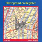
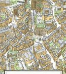
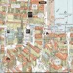
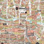
Amsterdam with outer suburbs at 1:1:14,500 from Falk B.V., Netherlands’ leading publishers of street plans, plus an enlargement at 1:7,500 of the city’s central part, both with one way streets and traffic restrictions.The main plan covers Amsterdam with its outer suburbs, extending west to include the docks and Osdorp and south beyond the A10 to cover Zuideramstel. Three insets on the reverse side complete the eastern side of the city, with coverage of the IJburg (including the areas under development), Diemen and Zuidoost Amsterdam. Main routes are highlighted and one way streets and traffic restrictions are marked throughout, with car parks and P+R facilities. Metro and railway lines show stations with their names. The plan itself does not include tram or bus lines, but a list of all the routes is provided in the index. Within the western docks area sector numbers are indicated. On the reverse an enlargement covers the central part of the city within the canal girdle plus Joordan (but without the museum quarter). Both plans highlight various places of interest, public buildings and facilities.The plan has a comprehensive street index. Map legend includes English.


