Disclosure : This site contains affiliate links to products. We may receive a commission for purchases made through these links.
Amorgos Terrain Editions 314

Related Products:
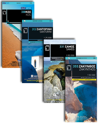
 Kos Terrain Editions Map 338
 Ios Terrain Editions 315
 Samothrace Terrain Editions 324
Samos Terrain Editions 331
Kastellorizo Terrain Editions 344
Samothrace Terrain Editions 324
Samos Terrain Editions 331
Kastellorizo Terrain Editions 344
 Kythnos Terrain Editions 302
 Kea / Tzia Terrain Editions 301
 Lefkada Terrain Editions 351
 Skyros Terrain Editions 322
 Patmos Terrain Editions 335
 Lemnos Terrain Editions 325
 Nisyros Terrain Editions 339
 Tinos Terrain Editions 308
 Syros Terrain Editions 305
 Kythira Terrain Editions 346
 Kalymnos Terrain Editions 337
 Sifnos Terrain Editions 304
 Symi Terrain Editions 341
 Naxos Terrain Editions 311
 Tilos Terrain Editions 340
 Santorini Terrain Editions 313
 Mt Parnitha Terrain Editions 239
 Rhodes Terrain Editions 342
 Hydra Terrain Editions 359
 Chios Terrain Editions 328
 Psara Terrain Editions 329
 Alonissos Terrain Editions 321
 Skopelos Terrain Editions 320
 Fourni Terrain Editions 333
 Ikaria Terrain Editions 332
 Anafi Terrain Editions 318
 Sikinos Terrain Editions 317
Folegandros Terrain Editions 316
Sikinos Terrain Editions 317
Folegandros Terrain Editions 316
 Mt Hymettus Terrain Editions 241
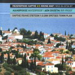 Spetses Terrain Editions 360
 Greece Terrain Editions
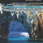 Skiathos Terrain Editions 319
Andros Terrain Editions 307
Skiathos Terrain Editions 319
Andros Terrain Editions 307
 Zakynthos Terrain Editions 355
 Mt Athos Terrain Editions 209