Disclosure : This site contains affiliate links to products. We may receive a commission for purchases made through these links.
Altai Mountains
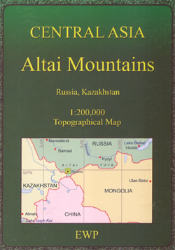
A detailed topographic map, at a scale of 1:200,000, of the Altai Mountains in Russia’s Kazakhstan. The low-contrast of the print reproduction makes some of the fine detail a little difficult to discern. Officially recognized un-surfaced tracks are marked on the map, as is the section of the M52 that snakes through the area. Relief is shown with contours at 40m or 80m intervals and spot heights, and topographic detail is plentiful, including glaciers and snowfields, seasonal rivers and rivers narrower and wider than 60m, heights and direction of flow of water features, cliffs, precipices, rock boulders (10m high), tumuli or knolls (5m high) and mudflats (impassable and passable). Mountain passes are indicated with height and the months during which they are passable. Latitude land longitude lines are shown at approximately 3.33’ intervals. The map legend is in English. Place names on the maps are transliterated from Cyrillic. A brief outline on Russian mountain pass grades is given and a summary transliteration vocabulary list is provided.

Related Products:
 Inylchek – Tien Shan Alpenverein 0/14
 Morocco: Atlas Mountains Topographic Maps
 Algeria: Ahaggar (Hoggar) Mountains Reise-Know-How Map
 Everest Base Camp & Gokyo – Three Passes 50K
 Strandzha Mountains: Burgas to the Turkish Border Domino Map
 Royal Trek
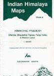 Chamba, Dhauladhar Passes, Pangi Valley & Western Lahul
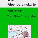 Khan Tengri – Tien Shan Alpenverein 0/15
 Polish and Slovak Tatra Mountains
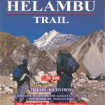 Helambu Trail
 Sikles Trek
 Lukla to Tengboche
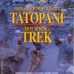 Tatopani Trek
 Gosainkunda – Trek to Shiva`s Sacred Lake
 Costa Blanca Mountains Super-Durable Map
 Makalu Base Camp
 Manaslu & Tsum Valley
 Western Rhodope Mountains Domino Map
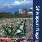 Shivapuri Nagarjun National Park
 Cederberg Mountains Hiking Set (2-map set)
 Monastry Circuit Trail
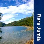 Dunai to Jumla and Rara Lake
 Kanchenjunga
 Everest – Gokyo – Cho La – the Renjo Pass (60K)
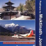 Pokhara to Muktinath and Jomosom
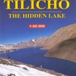 Tilicho Hidden Lake
 Tumlingtar to Lukla
 Naya Kanga
 Eastern Rhodope Mountains
 North Annapurna Base Camp
 Dhorpatan Hunting Reserve
 Naar – Phu
 Langtang – Tamang Heritage Trail – Gosainkunda – Helambu 50K
 Upper Mustang
 Khumbu – Sagarmatha National Park
 Pokhara Valley
 Crete High Mountain Walks, the White Mountains, Mt Ida and Lassithi – 3rd ed.
 Upper & Lower Mustang
 Mustang Upper and Lower
 Dhaulagiri Circuit