Disclosure : This site contains affiliate links to products. We may receive a commission for purchases made through these links.
Allerton 1905
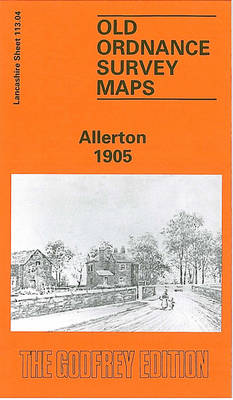
Allerton in 1905 in a fascinating series of reproductions of old Ordnance Survey plans in the Alan Godfrey Editions, ideal for anyone interested in the history of their neighbourhood or family. The map covers the Allerton Road area on the south-eastern side of Liverpool, plus the southern part of Wavertree. Coverage stretches from Greenbank Road eastward to Hornby Lane, and from Dunbabin Road southward to Elmsley Road. The western half of the map shows suburban streets developing, further east the area is more rural but with numerous villas in leafy grounds. Features include Holy Trinity church, trams and depot, Richmond Lodge, Blue Coat Hospital, quarries, LNWR railway with Sefton Park station, Penketh Hall, Mossley House, brick works, Allerton Road Farm, All Hallows church, Hart Hill, Dunbabin Farm, Calderstone, Bishop Eton monastery, Liverpool Polo Ground, Stand Park, etc. On the reverse are street directory entries for Crawford Avenue, Nicander Road, Penny Lane Wavertree and Smithdown Road. About the Alan Godfrey Editions of the 25″ OS Series:Selected towns in Great Britain and Ireland are covered by maps showing the extent of urban development in the last decades of the 19th and early 20th century. The plans have been taken from the Ordnance Survey mapping and reprinted at about 15 inches to one mile (1:4,340). On the reverse most maps have historical notes and many also include extracts from contemporary directories. Most maps cover about one mile (1.6kms) north/south, one and a half miles (2.4kms) across; adjoining sheets can be combined to provide wider coverage.FOR MORE INFORMATION AND A COMPLETE LIST OF ALL AVAILABLE TITLES PLEASE CLICK ON THE SERIES LINK.

Related Products:
 Wavertree and Broad Green 1905
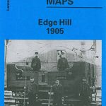 Liverpool Edge Hill 1905
 Woolton 1904
 Liverpool Princes Park 1905
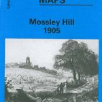 Mossley Hill 1905
 Garston 1905 – 113.12b
 Anfield 1908 – 106.07b
 Willesden and Stonebridge Park 1936
 Ramsgate 1905
Hornsey 1894 – 12.2
Ramsgate 1905
Hornsey 1894 – 12.2
 Knotty Ash and Old Swan 1906
 Knottingley 1905
 Heckmondwike 1905
Halifax: Mixenden and South Illingworth 1905
Heckmondwike 1905
Halifax: Mixenden and South Illingworth 1905
 Hornsey & Green Lanes 1935 – 12.4
Harborne South 1901
Hornsey & Green Lanes 1935 – 12.4
Harborne South 1901
 City of Lincoln 1905 – 70.07a
 Tong 1905
 Warrington 1905
Sheffield Park 1903
Warrington 1905
Sheffield Park 1903
 Whitstable West 1905
 Handsworth 1913
 Warrington West 1905
Gateacre 1904
Wanstead 1915 – 24.3
Warrington West 1905
Gateacre 1904
Wanstead 1915 – 24.3
 Runcorn 1905 – 115.13b
Looe 1905
Runcorn 1905 – 115.13b
Looe 1905
 Alexandra Park and South Friern 1935
 Alexandra Park & South Friern 1894 – 6a
 Alexandra Park & South Friern 1911 – 6b
 Goodmayes and Seven Kings 1915
Patricroft and Monton 1905
Goodmayes and Seven Kings 1915
Patricroft and Monton 1905
 Oakenshaw, Low Moor and Wyke 1905
 Tottenham (North) 1894 – 8a
Boscastle 1905
Ossett Central 1905
Horbury 1905
Derry/Londonderry 1905 – 14.10
Tottenham (North) 1894 – 8a
Boscastle 1905
Ossett Central 1905
Horbury 1905
Derry/Londonderry 1905 – 14.10
 Cheetham & Higher Broughton 1915 – 104.02b
Wakefield West 1905
Cheetham & Higher Broughton 1915 – 104.02b
Wakefield West 1905