Disclosure : This site contains affiliate links to products. We may receive a commission for purchases made through these links.
Alexandra Park & South Friern 1911 – 6b
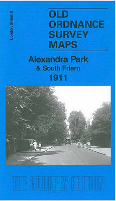
Alexandra Park and South Friern in 1911 in a fascinating series of reproductions of old Ordnance Survey plans in the Alan Godfrey Editions, ideal for anyone interested in the history of their neighbourhood or family. Three maps have been published for this area, extemding from Coppetts Road eastward to Prince`s Avenue, and from Cromwell Road southward to Muswell Road. Part of Alexandra Park is in the south-eastern corner, and the Palace is split by the sheetlines. Features include Bounds Green Pottery, St Saviour`s church, St Peter`s Mission Church, St Peter-le-Poer church, Isolation Hospital, Colney Hatch Lane, etc. The 1911 version includes a list of Private Residents from an 1890 directory for Colney Hatch; the 1935 version has a selection of Friern Barnet street directory entries.About the Alan Godfrey Editions of the 25″ OS Series:Selected towns in Great Britain and Ireland are covered by maps showing the extent of urban development in the last decades of the 19th and early 20th century. The plans have been taken from the Ordnance Survey mapping and reprinted at about 15 inches to one mile (1:4,340). On the reverse most maps have historical notes and many also include extracts from contemporary directories. Most maps cover about one mile (1.6kms) north/south, one and a half miles (2.4kms) across; adjoining sheets can be combined to provide wider coverage.FOR MORE INFORMATION AND A COMPLETE LIST OF ALL AVAILABLE TITLES PLEASE CLICK ON THE SERIES LINK.

Related Products:
 Alexandra Park and South Friern 1935
 Alexandra Park & South Friern 1894 – 6a
 Friern Barnet and New Southgate 1898
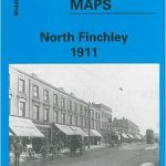 North Finchley 1911
Colwyn Bay South East 1911
Colwyn Bay South West 1911
North Finchley 1911
Colwyn Bay South East 1911
Colwyn Bay South West 1911
 Leicester South West 1902-1911
 Hull Alexandra Dock 1908
 South Harrow and Northolt Park 1935
Trafford Park South 1937
South Harrow and Northolt Park 1935
Trafford Park South 1937
 Liverpool Princes Park 1905
Croydon Woodside 1911
Liverpool Princes Park 1905
Croydon Woodside 1911
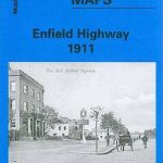 Enfield Highway 1911
 South Acton & Gunnersbury Park 1935 – 71.4
North Finchley 1894
Birmingham Central 1902-1911
East Finchley & Hampstead Garden Suburb 1894-1911 – 10.3
Colwyn Bay North 1911
South Acton & Gunnersbury Park 1935 – 71.4
North Finchley 1894
Birmingham Central 1902-1911
East Finchley & Hampstead Garden Suburb 1894-1911 – 10.3
Colwyn Bay North 1911
 Enfield (NW) 1911 – 7.02
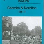 Coombe and Norbiton 1911
Willesden and Stonebridge Park 1936
Harborne South 1901
Coombe and Norbiton 1911
Willesden and Stonebridge Park 1936
Harborne South 1901
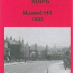 Muswell Hill 1935 – 11.4
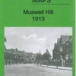 Muswell Hill 1913 – 11.3
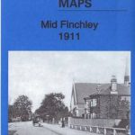 Mid Finchley 1911
Ipswich South-West 1902
Victoria Park 1889
Mid Finchley 1911
Ipswich South-West 1902
Victoria Park 1889
 South Croydon 1895 – 14.14
 South Croydon 1895 – 159.2
Birmingham South 1913
South Croydon 1895 – 159.2
Birmingham South 1913
 Bromley South 1895
 Croydon East: Coombe Park & Addiscombe Road 1895 – 158
 Leeds South and South East 1906
Leeds South and South East 1890 (Colour Edition)
Leeds South and South East 1906
Leeds South and South East 1890 (Colour Edition)
 Stoke upon Trent (South) 1898 – 18.05
 Beckenham South 1894
 South Ealing 1934 – 70.4
 Bromley North and Sundridge Park 1895
 Kirkby Stephen 1911 – 23.15
 Handsworth 1913