Disclosure : This site contains affiliate links to products. We may receive a commission for purchases made through these links.
Alberta & Saskatchewan
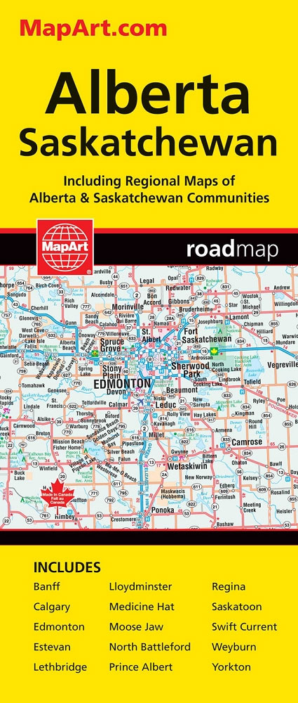
Alberta, including the Banff and Jasper National Parks, and Saskatchewan on an indexed road map presenting both provinces at 1:1,850,000, each accompanied by several street maps of their main cities, including detailed plans of downtown Calgary, Edmonton, Regina and Saskatoon.On one side is a road map of Alberta with coverage extending within British Columbia to Kelowna, plus street plans of Calgary and Edmonton at 1:250,000 with their downtown areas in more detail at 1:25,000, plus street maps of Red Deer, Lethbridge, Medicine Hat and Banff. On the reverse, a road map of Saskatchewan comes with street plans of Regina and Saskatoon at 1:100,000 with their downtown districts at 1:25,000, plus plans of Swift Current, Lloydminster, Yorkton, Moose Jaw, Prince Albert, Battleford/North Battleford, Estevan and Weyburn.On the road maps at 1:1,850,000 the base prominently highlights numerous national and provincial parks. Topography is shown spot heights; numerous rivers are also named. Road classification indicates paved, loose surface and unimproved routes. Driving distances are marked on main routes. The map also indicates locations accessible by regular air services. Symbols mark campgrounds, tourist information offices, etc. The maps have no geographical coordinates and each province has a separate index.To see the list of currently available Canadian province and regional maps form the MapArt / Canadian Cartographics Corporation / JDM Gรฉo publishing group, including waterproof and tear-resistant FastTrack titles, please click on the series link.

Related Products:
 Saskatchewan MapArt
 Saskatchewan FastTrack
 Manitoba & Saskatchewan
 Alberta Pocket Road Atlas
 Alberta MapArt
 Alberta MapArt Back Road Atlas
 Alberta FastTrack
 British Columbia – Alberta MapArt
 Alberta ITMB
 Manitoba & Saskatchewan MapArt Road Atlas
 British Columbia – Alberta FastTrack
 Saskatchewan ITMB
 Jasper National Park & Northern Alberta ITMB
 Regina, Moose Jaw, Swift Current & Towns of Southern Saskatchewan
 Calgary & Southern Alberta Street Atlas
 Edmonton & Northern Alberta Street Atlas
 Edmonton – Jasper & Environs FastTrack
 Western & Northern Canada ITMB Travel Atlas
 Ontario Southwestern: Brantford – London – Kitchener/Waterloo – Bruce Peninsula
Saskatoon SK
Ontario Southwestern: Brantford – London – Kitchener/Waterloo – Bruce Peninsula
Saskatoon SK
 Calgary Pocket Street Atlas
 Calgary & Alberta South ITMB
 Kootenay Rockies – Calgary and Northern Montana Back Road Atlas
 Fort McMurray & Towns of Central and Northern Alberta
 Canada MapArt
 Calgary – Banff & Enviros FastTrack
 Canadian Rockies – Banff – Jasper – Yoho Gem Trek Map
 Edmonton – Sherwood Park FastTrack Map
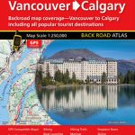 Vancouver to Calgary MapArt Back Road Atlas
 Southwest Alberta & Southeast British Columbia Gem Trek
 Edmonton AB
 Calgary AB
 Saskatchewan Back Road Atlas
 Calgary FastTrack
 125 Nature Hot Spots in Alberta: The Best Parks, Conservation Areas and Wild Places
 British Columbia FastTrack
 Manitoba MapArt
 British Columbia South ITMB
 Nova Scotia MapArt
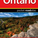 Ontario MapArt Pocket Road Atlas