Disclosure : This site contains affiliate links to products. We may receive a commission for purchases made through these links.
Alaska NGS Wall Map PAPER

Alaska physical wall map, size 103 x 78cm (40.5″ x 31″ approx) ‘“ paper version, at 1:3,660,000 from the National Geographic, with colouring to show the topography and plenty of place names. Coverage includes the panhandle and the outermost Aleutian Islands in their proper geographical placing.Altitude colouring and relief shading shows the topography, with names of mountain ranges, peaks with heights (in feet), etc. Boundaries of national parks and other protected areas are marked. The map shows Alaska’s road network, the railway line from Anchorage to Fairbanks, numerous local airfields with scheduled air or seaplane services, and ferry routes. The map has a very large number of place names: towns and settlements, geographical features including islands, bays, etc.On the surrounding seas ocean floor is shown in relief with sounding (also in feet). Latitude and longitude lines are drawn at 5ยฐ intervals. An inset shows the conterminous part of USA with Alaska and the Aleutian Islands superimposed on it to indicate the size ot the state: from the southern tip of the panhandle to the Attu Island equals Jacksonville in Florida to San Francisco!This title is also available encapsulated.

Related Products:
 Alaska NGS Wall Map ENCAPSULATED
 Alaska ITMB
 Alaska Reise Know-How
 Italy NGS Executive Wall Map PAPER
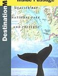 Alaska`s Inside Passage NGS Destination Map
 Italy NGS Classic Wall Map PAPER
 Alaska Explorer
 Hawaii NGS Wall Map PAPER
 USA: The Essential Geography of the United States of America Wall Map PAPER
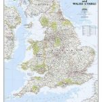 England and Wales NGS Classic Wall Map PAPER
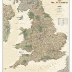 England and Wales NGS Executive Wall Map PAPER
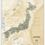
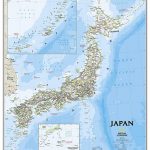 Japan NGS Classic Wall Map PAPER
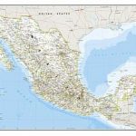 Mexico NGS Classic Wall Map PAPER
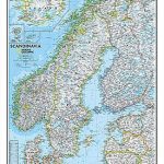 Scandinavia NGS Classic Wall Map PAPER
 Japan NGS Executive Wall Map PAPER
 Alaska`s Inside Passage – Seattle to Anchorage ITMB
 Asia NGS Executive Wall Map PAPER
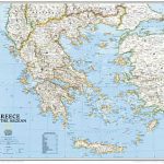 Greece NGS Classic Wall Map PAPER
 United States NGS National Parks Wall Map PAPER
 Germany NGS Executive Wall Map PAPER
 Germany NGS Classic Wall Map PAPER
 Alaska State Physical Wall Map
 Africa NGS Executive Wall Map PAPER
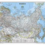 Russia NGS Classic Wall Map PAPER
 North America NGS Classic Wall Map PAPER
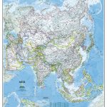 Asia NGS Classic Wall Map PAPER
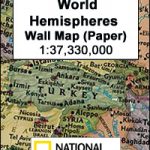 World Hemispheres NGS Wall Map PAPER
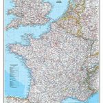 France, Belgium and Netherlands NGS Classic Wall Map PAPER
 North America NGS Classic Wall Map LARGE PAPER
 Europe NGS Classic Wall Map PAPER
 Caribbean NGS Classic Wall Map PAPER
 Britain and Ireland NGS Executive Wall Map PAPER
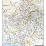 Afghanistan and Pakistan NGS Classic Wall Map PAPER
Mexico NGS Executive Wall Map PAPER
Afghanistan and Pakistan NGS Classic Wall Map PAPER
Mexico NGS Executive Wall Map PAPER
 South America Global Mapping Political Wall Map PAPER
Africa NGS Classic Wall Map PAPER
South America Global Mapping Political Wall Map PAPER
Africa NGS Classic Wall Map PAPER
 Europe NGS Classic Wall Map LARGE PAPER
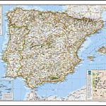 Spain and Portugal NGS Classic Wall Map PAPER
 Scotland NGS Executive Wall Map PAPER
 Africa NGS Classic Wall Map LARGE PAPER