Disclosure : This site contains affiliate links to products. We may receive a commission for purchases made through these links.
Africa South & Central ITMB
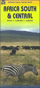
Central and southern presented together by ITMB a double-sided, indexed map from ITMB with altitude colouring to show the topography and highlighting of numerous national parks and other protected areas. On one side is central Africa at 1:3,400,000; coverage extends from the southern part of the Democratic Republic of Congo and southern Tanzania to include the whole of Zimbabwe and Malawi, northern Mozambique, northern Botswana and north-eastern Namibia. On the reverse is southern Africa presented at 1:2,175,000, (NB. different scale than shown on the map cover) but please note that the two sides together do not provide continuous coverage of the countries they cover. Each side presents topography by altitude colouring and has a separate index. Latitude and longitude lines are drawn at 5ยบ intervals on the central Africa side and at 2ยบ intervals in southern Africa.Please note: there is a considerable difference in the amount of information shown on the two sides, e.g. on the central Africa side various national parks and protected areas are marked but not named, etc.To see other titles in this series please click on the series link.

Related Products:
 Africa East & Central ITMB
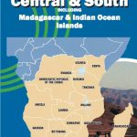 Africa Central & South Map Studio
 Central USA & the Mississippi River ITMB
 Africa Northwest ITMB
 Africa Southern ITMB
 Africa North-East ITMB
 Africa North ITMB
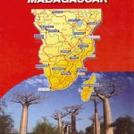 Africa Central & South – Madagascar WATERPROOF
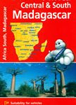 Africa Central & South – Madagascar Michelin
 South Africa – Lesotho – Swaziland ITMB
 South Africa – Namibia – Botswana Hallwag Road Map
 Africa ITMB
 South East Asia ITMB
 Argentina South & Tierra del Fuego ITMB
 British Columbia South ITMB
 Africa Equatorial ITMB
 Central Asia ITMB
 USA South-Central: Kansas – Oklahoma – Texas Reise-Know-How Map
 South Africa Adventure Map
 South Africa – Namibia – Botswana – Zimbabwe Nelles
 Africa Western ITMB
 Tel Aviv-Jaffa & Central Israel ITMB
 Cape Verde & West Africa ITMB
 South America North ITMB
 Africa: ITMB Sectional Maps
 Chile South & Patagonia ITMB
 Accra & Ghana South ITMB
 South America Southern ITMB
 Zambia & Eastern Africa ITMB Road Map
 Quito & Central Ecuador ITMB
 South Africa InfoMap
Sri Lanka & India South ITMB
South Africa InfoMap
Sri Lanka & India South ITMB
 South Africa – Namibia – Botswana Marco Polo Map
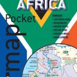 South Africa Map Studio Pocket Map
 South Africa Map Studio Road Atlas A4 PAPERBACK
 Central America ITMB
 Miami & South Florida ITMB
 Southern Africa: South Africa – Swaziland – Nambia – Botswana – Zambia