Disclosure : This site contains affiliate links to products. We may receive a commission for purchases made through these links.
Africa Central & South Map Studio
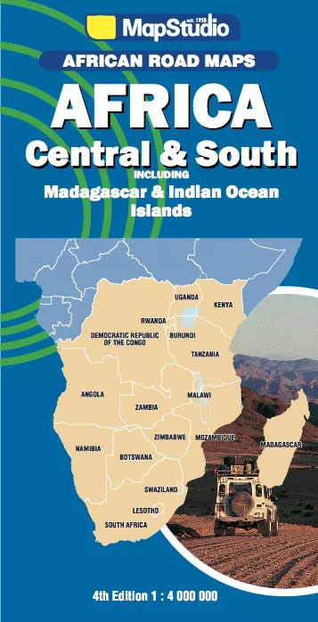
Central and Southern Africa at 1:4,000,000 on a large route planning map from Map Studio, South Africa’s leading map publishers, providing an overview of the road network and rail connections, with numerous national parks and other protected areas prominently highlighted. Coverage extends north to include the whole of Equatorial Guinea, Gabon, Congo, Uganda and Kenya, with most of Cameroon and Central African Republic, plus part of South Sudan (still called Sudan and with hardly any detail ‘“ no Juba, etc!) and the south-eastern corner of Ethiopia.Plain base map has no altitude colouring and only a few spot heights, but graphics indicate deserts, wet and forested areas, salt pans and marshland. Rivers and lakes are shown, with most lakes but only some rivers named, mainly in the upper half of the map, e.g. many tributaries of the Congo but not Zambezi or Limpopo. Numerous national parks and other protected areas are highlighted and named, indicating those which have been designated as World Heritage Sites. Parks with controlled access shows locations of entry gates. The map also highlights many other places of interest including historical sites, oasis, waterfalls, water holes, etc.Road network stresses main cross-country national roads and connecting major routes, indicating unsurfaced sections, toll roads, border crossing points and driving distances. Many local dirt roads are also included as well as railway lines, main airports and on some navigable rivers inland ports. Latitude and longitude lines are drawn at intervals of 5ยบ. The map has no index but includes a comprehensive distance table which also lists main African locations outside its area, underlining the huge distances involved (Beira to Rabat = 13,534 kms.)


