Disclosure : This site contains affiliate links to products. We may receive a commission for purchases made through these links.
Afghanistan and Pakistan NGS Classic Wall Map PAPER

Afghanistan and Pakistan wall map, 58 x 89cm (23″ x 2ft 11″ approx) ‘“ paper version, presenting the region at 1:3,363,300 in the NGS classic style on a light base with country boundaries outlined in contrasting colours. Coverage includes the whole of Tajikistan, as well as most of Uzbekistan and Kyrgyzstan. Topography of the region is shown by relief shading, with additional colouring/graphics indicating deserts, swamps, salt flats, glaciers, etc. The map provides plenty of names of geographic features such a mountain ranges, deserts, peaks, etc. Heights are given in both metres and feet. National parks are highlighted.In Afghanistan and Pakistan map shows internal administrative boundaries and names of the provinces. All place names are shown transliterated into Latin alphabet, with alternative spellings provided where appropriate (Kabul/Kabol, Qalat/Kalat, etc). In Kashmir different boundary claims are marked. The map shows the network of main road and railway connections as well as local airports. Latitude and longitude lines are drawn at 3ยฐ intervals.* This map is also available encapsulated.

Related Products:
 China NGS Classic Wall Map PAPER
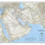 Middle East NGS Classic Wall Map PAPER
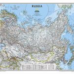 Russia NGS Classic Wall Map PAPER
 Pakistan Gizi Map
 Afghanistan – Kabul & 5 Cities Street Plans Gizi Wall Map
 Iraq NGS Classic Wall Map PAPER
 Balkans NGS Classic Wall Map PAPER
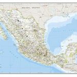 Mexico NGS Classic Wall Map PAPER
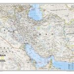 Iran NGS Classic Wall Map PAPER
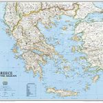 Greece NGS Classic Wall Map PAPER
 China NGS Classic Wall Map ENCAPSULATED
 Afghanistan – Kabul & 5 Cities Gizi Map
 Central America NGS Classic Wall Map PAPER
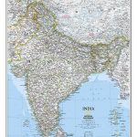
 India NGS Classic Wall Map PAPER
 Afghanistan F&B
 Middle East NGS Classic Wall Map ENCAPSULATED
 China Administrative Wall Map
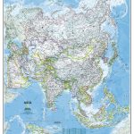 Asia NGS Classic Wall Map PAPER
Mexico NGS Executive Wall Map PAPER
Asia NGS Classic Wall Map PAPER
Mexico NGS Executive Wall Map PAPER
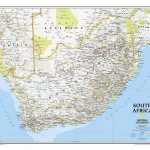 South Africa NGS Classic Wall Map PAPER
Africa NGS Classic Wall Map PAPER
South Africa NGS Classic Wall Map PAPER
Africa NGS Classic Wall Map PAPER
 Afghanistan Nelles Map
 Africa NGS Classic Wall Map LARGE PAPER
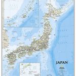 Japan NGS Classic Wall Map PAPER
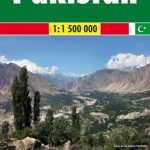 Pakistan F&B
 World NGS Explorer Wall Map PAPER
 Iran Wall Map
 World Rand McNally Classic Wall Map PAPER
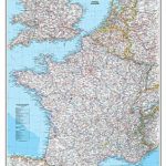 France, Belgium and Netherlands NGS Classic Wall Map PAPER
 Central America NGS Classic Wall Map ENCAPSULATED
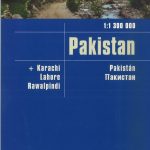 Pakistan Reise Know-How
 Algeria Road Edition Wall Map
 Pakistan Nelles
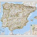 Spain and Portugal NGS Classic Wall Map PAPER
 Balkans NGS Classic Wall Map ENCAPSULATED
 Italy NGS Classic Wall Map PAPER
 Algeria Geographical Wall Map
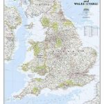 England and Wales NGS Classic Wall Map PAPER
 India NGS Classic Wall Map ENCAPSULATED
 Kazakhstan Political Wall Map