Disclosure : This site contains affiliate links to products. We may receive a commission for purchases made through these links.
Aeolian (Lipari) Islands and Southern Italy F&B
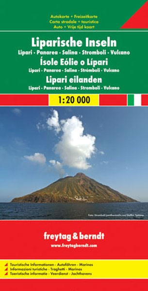
Aeolian (Lipari) Islands at 1:20,000 from Freytag & Berndt on a double-sided map which presents on the reverse coverage of Italy south of Rome at 1:600,000 and shows ferry access to the islands from the mainland or Sicily.On one side the islands are shown in a series of panels, with the three largest: Salina, Lipari and Vulcano together, and Alicudi, Filicudi, Panarea and Basiluzzo plus Stromboli as separate insets. Topography is shown by contours at 50m intervals enhanced by relief shading, with names of peaks, valleys, etc. All place names are in large, easy to read print.Road network includes country tracks and a selection of hiking paths. Various places of interest and facilities are highlighted, including beaches, marinas, campsites, etc. Each individual inset has latitude and longitude lines at intervals of 1’.Ferry ports are marked and connections between the islands and with Sicily are also shown on a separate inset presenting the whole group together. On the reverse is a general road map of Italy south of Rome, including Sicily, with very clear presentation of the region’s topography and road network. Ferry connections are marked, but there is no special overprint to highlight main places of interest.Map legends on both sides include English.

Related Products:
 Aeolian (Lipari) Islands Global Map Tourist Map
 Aeolian (Lipari) Islands Kompass 693
 Rome & Southern Italy ITMB
 Faroe Islands
 Southern Italy – Sardinia – Sicily TCI 400K Road and Tourist Map
 Italy South F&B
 Italy North K+F Road Map
 Italy K+F Double-Sided Road Map
 Kos – Southern Dodecanese Kompass 252
 Philippines F&B
 Italy North F&B
 Canary Islands
 Italy Borch
 Italy F&B
 Papua & Maluku Islands Nelles
 Sicily TCI Regional 14
 Canary Islands ITMB
 Gino`s Italian Coastal Escape: A Taste of Italy fromthe Aeolian Islands to Elba
 Sicily – 46 Walking Routes Including Mt Etna and the Egadi and Aeolian Islands
 Italy F&B Great Road Atlas SPIRAL-BOUND
Italy Reise Know-How
Italy F&B Great Road Atlas SPIRAL-BOUND
Italy Reise Know-How
 Italy: Kรผmmerly + Frey Outdoor Maps of Northern Italy
 Cayman Islands & Jamaica ITMB
 Sicily Reise Know-How
 Okinawa & the Ryukyu Islands Periplus Travel Map
 Europe Central F&B
 Los Angeles & Southern California ITMB
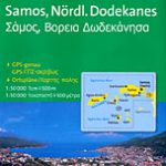 Samos & Northern Dodecanese Islands 50K Kompass Map No.253
 Lesser Sunda Islands – Bali to East Timor Reise Know-How
 Italy NGS Classic Wall Map PAPER
 Virgin Islands (US and British) ITMB
Italy TCI Road Atlas
Virgin Islands (US and British) ITMB
Italy TCI Road Atlas
 Japan F&B
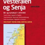 Lofoten – Vesteralen Islands – Senja Cappelen Sectional Road Map
 Italy NGS Executive Wall Map PAPER
 New Guinea (Papua New Guinea and Indonesia) ITMB
 Greece & the Islands Marco Polo Map
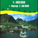 Lofoten – Vaeroy
 Hawaii NGS Adventure Map 3111
 Stockholm County Norstedts Road Map