Disclosure : This site contains affiliate links to products. We may receive a commission for purchases made through these links.
Adolfstrรถm – Hemavan Kungsleden Map & Guide Set 5
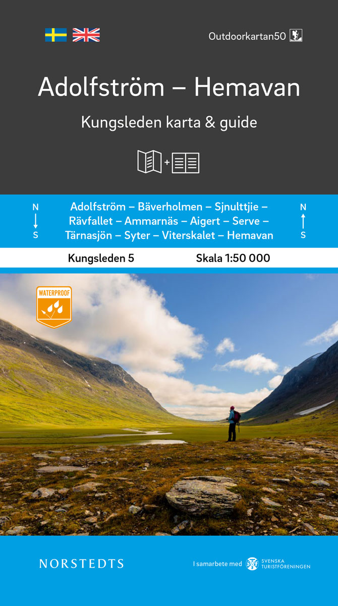
Kungsleden – easily accessible hike through Sweden`s magical mountain world!Kungsleden Kart & Guide is a series of 5 parts between Abisko and Hemavan, which have been developed in collaboration with the Swedish Tourist Association. Each part consists of a set with a completely water-resistant mountain map in scale 1:50 000 and an accompanying guide describing Kungsleden`s stages with information on distance, approximate walking time, mountain information such as rest protection, bridges and help phones, guide descriptions and accommodations along the way, and practical tips before your hike.The stages are described in order to be able to walk or ski in both the north and south direction and have a natural stage division between STF Fjรคllstugor and STF Fjรคllstationen where overnight accommodation is possible. These are presented with photos and facilities eg. how many beds are available, can it be provided on site, pets are allowed, there is a helpline etc. Information on alternative accommodation and which stretches require camping are also included.Where possible, alternative stages for Kungsleden are also shown, as well as detours if you want to make an extra tour in the area and the STF accommodation that is passed during the tour.The guide starts with good information before your hike, how does it work to live in STF Fjรคllstuga? Practical tips for the trip, signposting, snowmobile, equipment, weather, navigation etc.All descriptions and information are in Swedish and English.

Related Products:
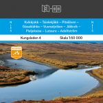 Kvikkjokk – Adolfstrรถm Kungsleden Map & Guide Set 4
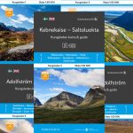
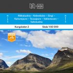 Kebnekaise – Saltoluokta Kungsleden Map & Guide Set 2
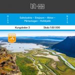 Saltoluokta – Kvikkjokk Kungsleden Map & Guide Set 3
 Abisko – Kebnekaise Kungsleden Map & Guide Set 1
 Kungsleden Map & Guide 1:50 000
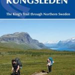 Trekking the Kungsleden: The King`s Trail through Northern Sweden
 Ammarnas – Hemavan – Lill-Bjorkvattnet Norstedts Outdoor 6
 Ammarnรคs – Hemavan- Lill-Bjรถrkvattnet Norstedts Outdoor 6
 Brandenburg Cycle Tour Bikeline Map-Guide
 Tรคrnaby – Hemavan – Ammarnรคs Lantmateriet AC2
 Hase-Emms Cycle Tour Bikeline Map-Guide
Luneburg Heath Cycle Tour Bikeline Map-Guide
Hase-Emms Cycle Tour Bikeline Map-Guide
Luneburg Heath Cycle Tour Bikeline Map-Guide
 Neusiedler See Cycle Tour (124km) Bikeline Map/Guide
 Camino Guides: Pilgrim`s Guides to Camino de Santiago (The Way of St. James)
 Scenic Tauber Valley Cycle Tour – between Rothenburg and Wertheim Bikeline Map-Guide
 Emsland Cycle Tour (297km) Bikeline Map/Guide
 GR40: Tour des Volcans du Velay FFRP Topo-guide No. 425
IJsselmeer Cycle Tour – Zuiderzee Route – Texel and Vlieland Bikeline Map-Guide
GR40: Tour des Volcans du Velay FFRP Topo-guide No. 425
IJsselmeer Cycle Tour – Zuiderzee Route – Texel and Vlieland Bikeline Map-Guide
 Camino de Santiago Rother Guide
 Werse – Ems Cycle Tour (202km) Bikeline Map/Guide
 GTA Grande Traversata delle Alpi – long-distance Route across the Italian Alps Rother Guide
 Matterhorn Tour
 Five Rivers Cycle Tour – Naab – Vils – Pegnitz – Altmuhl – Danube Bikeline Map-Guide
 Eifel`s Moated Castles Cycle Tour (450km) Bikeline Map/Guide
 Eider – Treene – Sorge Cycle Tour (190km) Bikeline Map/Guide
 Frosch Cycle Tour: North-Eastern Saxony (274km) Bikeline Map/Guide
 Berlitz Pocket Guide Riga (Travel Guide with Dictionary)
 Southern Black Forest Cycle Tour (240km) Bikeline Map/Guide
 Peace of Westphalia Cycle Tour: Osnabrรผck – Mรผnster (202km) Bikelie Map/Guide
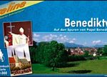 Pope Benedict XVI Cycle Tour (248km) Bikeline Map/Guide
 Iceland Map & Guide
 The Wales Coast Path: A Practical Guide for Walkers
 Havel Cycle Route Bikeline Map-Guide
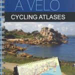 Le Tour de la Bretagne ร vรฉlo: Roscoff – Quimperlรฉ
Holland Cycling Region Bikeline Map-Guide
Le Tour de la Bretagne ร vรฉlo: Roscoff – Quimperlรฉ
Holland Cycling Region Bikeline Map-Guide
 Lake Constance Cycle Route Bikeline Map-Guide
Allgรคu Cycle Tours Bikeline Map-Guide
Lake Constance Cycle Route Bikeline Map-Guide
Allgรคu Cycle Tours Bikeline Map-Guide
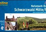 Black Forest: Central and Northern Black Forest Cycle Tour (260km) Bikeline Map/Guide
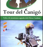 Tour of the Canigรณ Hiking Circuit
 Adlerweg: The Eagle`s Way Across the Austrian Tyrol