Disclosure : This site contains affiliate links to products. We may receive a commission for purchases made through these links.
Admiralty Chart Folio 97 – Magellan Strait, Cape Horn, Patagonian Channels and Arctic Peninsula
Related Products:
 Admiralty Chart Folio 20 – Northwest Coast of Africa – Strait of Gibraltar to Sierra Leone incl. Madeira, Canary, and Cape Verde Islands
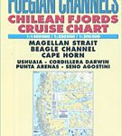 Patagonian & Fuegian Channels – Chilean Fjords Cruise Chart
 Admiralty Chart Folio 24 – Strait of Gibraltar to Malta and Port Said
 Admiralty Chart Folio 45 – Malacca Strait ‘“ Nicobar Island to Singapore
 Admiralty Chart 324 – Cape North to Cape Freels including Outer Approaches to Strait of Belle Isle
 Admiralty Chart Folio 18 – West Coast of Spain, Portugal, Strait of Gibraltar
 Admiralty Chart Folio 80 – Atlantic Coasts of Cape Bretton Island, Scotia and Bay of Fundy
 Admiralty Chart Folio 63 – Northwest Coast of Australia Gulf of Carpentaria to Cape Cuvier
 Admiralty Chart Folio 71 – New Zealand ‘“ North Island and Cook Strait Incl. Kermadec and Chatham Islands
 Admiralty Chart Folio 64 – Southwest Coast of Australia – Cape Cuvier to Great Australian Bight
 Admiralty Chart Folio 66 – Sydney to Torres Strait, incl. Off-Lying reefs, Norfolk and Lord Howe Islands
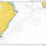 Admiralty Chart NZ62 – Cape Palliser to Kaikoura Peninsula
 Admiralty Chart Folio 89 – West Coast of Central America and the United States – Mariato Point to Cape Mendocino
 Admiralty Chart Folio 25 – Mediterranean Coasts of Spain and France, Strait of Gibraltar to San Remo, incl. Balearic Islands, Corsica and Sardinia
 Admiralty Chart Folio 26 – West Coast of Italy – Toulon to Messina Strait and North Coast of Sicily
 Admiralty Chart Folio 72 – New Zealand ‘“ South Island, South of Cook Strait incl. Macquaire and other off-lying islands
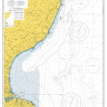 Admiralty Chart NZ63 – Kaikoura Peninsula to Banks Peninsula
 Admiralty Chart NZ64 – Banks Peninsula to Otago Peninsula
 Admiralty Chart 775 – Cape Arnauti to Cape Limniti and Cape Aspro
 NGA Chart 29025 – Cape Norvegia to Riiser-Larsen Peninsula
 Admiralty Chart Folio 90 – West Coast North America – Cape Mendocino to Vancouver Island including West Coast of Vancouver Island
 Admiralty Chart 2612 – Port of Vaasa and Approach Channels
 Admiralty Chart 4121 – Hong Kong, Lamma Channels
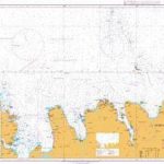 Admiralty Chart 2899 – Horn to Raudinupur
 Admiralty Chart AUS158 – Port Phillip, South West Channels
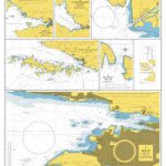 Admiralty Chart 269 – Ploce and Split with Adjacent Harbours – Channels and Anchorages
 Admiralty Chart 867 – Bermuda North and South Channels to Great Sound
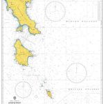 Admiralty Chart 1030 – South-West Entrance Channels to the Aegean Sea
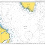 Admiralty Chart 4405 – Labrador Sea – Strait of Belle Isle to Davis Strait
 Admiralty Chart 3206 – Graham Land, Gerlache Strait to Orleans Strait
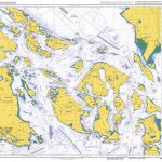 Admiralty Chart 4951 – Juan de Fuca Strait to Strait of Georgia
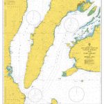 Admiralty Chart 4473 – Southern Part of Tanon Strait and Cebu Strait to Bohol Sea
 RCC Cape Horn and Antarctic Waters
 NGA Chart 29005 – Cape Herlacher to Matha Strait
 Cape Town – Cape Peninsula NP & Winelands
 Cape Horn to Cabo Penas Historical Map
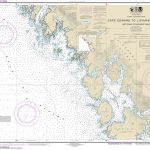 NOAA Chart 17321 – Cape Edward to Lisianski Strait
 Admiralty Chart 4644 – Cape Otway to Cape Howe including Tasmania
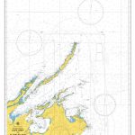 Admiralty Chart AUS306 – Cape Grey to Cape Wessel and Elcho Island
 Admiralty Chart 4731 – Pointe Amour to Cape Whittle and Cape St. George


