Disclosure : This site contains affiliate links to products. We may receive a commission for purchases made through these links.
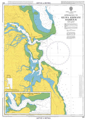
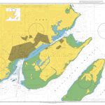
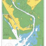
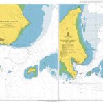
Admiralty Chart 661 – Approaches to Kilwa Kisiwani Harbour

Related Products:
 Admiralty Chart 852 – Akrotiri Harbour and Approaches
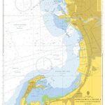
 Admiralty Chart 13 – Approaches to Cebu Harbour
 Admiralty Chart 456 – Approaches to Kingston Harbour
 Admiralty Chart 819 – Approaches to Galle Harbour
 Admiralty Chart 7 – Aden Harbour and Approaches
 Admiralty Chart 2407 – Kerkyra Harbour and Approaches
 Admiralty Chart 1904 – Galway Harbour and Approaches
 Admiralty Chart 4752 – Approaches to Halifax Harbour
 Admiralty Chart 2506 – Mare Harbour and Approaches
 Admiralty Chart IN2036 – Dighi Harbour and Approaches
 Admiralty Chart NZ661 – Approaches to Otago Harbour
 Admiralty Chart AUS157 – Geelong Harbour and Approaches
 Admiralty Chart 3271 – Approaches to Lerwick Harbour
 Admiralty Chart 3164 – Barrow Harbour and Approaches
 Admiralty Chart 2044 – Shoreham Harbour and Approaches
 Admiralty Chart 2611 – Poole Harbour and Approaches
 Admiralty Chart 1614 – Stanley Harbour and Approaches
 Admiralty Chart 2755 – Approaches to New York Harbour
 Admiralty Chart 799 – Saint Vincent, Kingstown Harbour and Approaches.
 Admiralty Chart 1673 – Western Approaches to Suva Harbour
 Admiralty Chart 1674 – Eastern Approaches to Suva Harbour
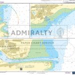
 Admiralty Chart SC5622_9 – Outer Approaches to Cork Harbour
 Admiralty Chart 790 – Grenada, Saint George’s Harbour and Approaches
 Admiralty Chart 3931 – Approaches to Manila including Cavite Harbour
 Admiralty Chart SC5600_15 – Portsmouth Harbour, Approaches to Port Solent
 Admiralty Chart 1777 – Port of Cork- Lower Harbour and Approaches
 Admiralty Chart 4936 – Chatham Sound, Approaches to Prince Rupert Harbour
 Admiralty Chart 4037 – Keppel Harbour, Tanjong Pagar Terminal and Approaches
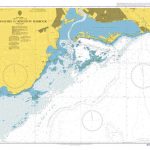
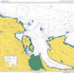
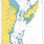 Admiralty Chart 1032 – North Mafia Channel to Kilwa Point
 Admiralty Chart SC5605_13 – Newhaven Harbour – Littlehampton Harbour – Brighton Marina – Folkestone Harbour
 Admiralty Chart SC5617_15 – Montrose Harbour – Arbroath Harbour – Stonehaven Harbour
 Admiralty Chart 4966 – Approaches to Vancouver Harbour
 Admiralty Chart 947 – Approaches To Pelabuhan Labuan (Victoria Harbour)
 Admiralty Chart 4957 – Strait of Georgia, Approaches to Nanaimo Harbour
 Admiralty Chart SC5600_16 – Langstone Harbour – Upper Reaches of Langstone Harbour – Chichester Harbour, Bosham and Fishbourne Channels
 CHS Chart 4237 – Approaches to Halifax Harbour and Sambro Harbour
 Admiralty Chart SC5621_17 – Entrance to Waterford Harbour – Dunmore East Harbour
 Admiralty Chart SC5622_3 – Entrance to Waterford Harbour – Dunmore East Harbour
 Admiralty Chart SC5602_5 – Falmouth Harbour – Upper Reaches of the Percuil River – Penryn Harbour
 Admiralty Chart SC5600_14 – Portsmouth Harbour, Approaches to Fareham Lake – Continuation of Fareham Lake