Disclosure : This site contains affiliate links to products. We may receive a commission for purchases made through these links.
Adelaide Hills & Barossa SA
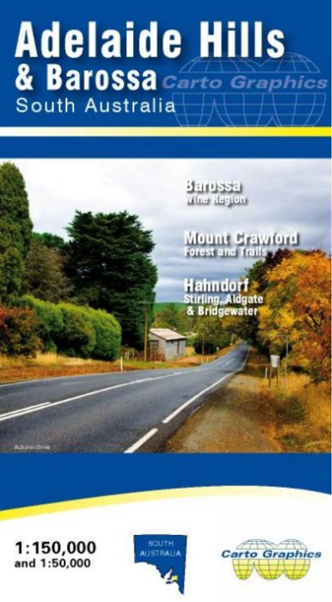
Adelaide Hills and Barossa Wine Region of South Australia on an indexed road map from the Australian publishers Carto Graphics combining coverage of the whole region at 1:150,000 with more detailed panels showing the most visited areas, plus a list of local vineries.The main map covers the whole region at 1:150,000 extending south of Adelaide to Strathalbyn, east to Murray Bridge, and north beyond the Barossa Valley to Kapunda. Road network indicates unsealed roads and local tracks; driving distances are marked on main routes. Railway lines are includes and the map also shows the region’s main trails: Heysen, Mawson, Lavender Federation and Kidman. Topography is indicated by relief shading with names of hills and colouring for the protected areas. Symbols show locations of wineries, tourist information offices and lookouts. The map has latitude and longitude lines at 10’ interval and separate indexes of towns/localities, parks/reserves, and ‘Cellar Doors”.Above the main map and on the reverse are panels showing in greater detail Central Adelaide Hills and Mount Crawford Forest, both at 1:50,000, and the Barossa valley at 1:75,000. The Mount Crawford map has contours at 10m intervals, a 1-km UTM grid, highlights local hiking trails and shows campgrounds and other tourist facilities. The Barossa Valley panel also has a UTM grid, plus indexes of towns/localities and Cellar Doors.To see the list of the publisher`s other regional maps of South Australia please click on the series link.

Related Products:
 Adelaide and Region Hema
 Adelaide Pocket Precincts: A Pocket Guide to the City`s Best Cultural Hangouts, Shops, Bars and Eateries
 Adelaide UBD Gregory`s City Pocket 560
 Melbourne to Adelaide – featuring the Great Ocean Road and Victorian Goldfields Hema Touring Map
 South Australia Hema
 Zemplen Hills South Cartographia Tourist Map 23
 Chitwan: Chepang Hills Trail
 Black Hills South – Black Hills National Forest SD
 Black Hills North – Black Hills National Forest SD NGS Trails Illustrated Map 751
 Lowther Hills, Sanquhar & Leadhills – Wanlockhead & Crawford OS Explorer Map 329 (paper)
 Adelaide Island and Arrowsmith Peninsula BAS
 Pentland Hills Walking
 Coreen Hills & Glenlivet – Bennachie, Ladder Hills, Insch & RhynieOS Explorer Active Map OL62 (waterproof)
 Adelaide Island And Arrowsmith Peninsula Bas Wall Map
 Coreen Hills & Glenlivet – Bennachie, Ladder Hills, Insch & Rhynie OS Explorer Map OL62 (paper)
 Adelaide City Streets & Suburbs UBD Gregory`s 562
 Adelaide Suburbs & City Centre UBD Gregory`s 518
 Admiralty Chart 3577 – Adelaide Island – South Western Approaches
 Lowther Hills, Sanquhar & Leadhills – Wanlockhead & Crawford OS Explorer Active Map 329 (waterproof)
 Brabant Island to Adelaide Island UKAHT Wall Map
 Zemplen Hills North Cartographia Tourist Map 22
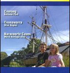 Limestone Coast, SA
 Gemenc – Szekszard-Hills Tourist Map
 Buda Hills Cartographia Tourist Map 6
 Brabant Island to Adelaide Island
 South-East Styrian Hills – Vulkanland – Bad Gleichenberg – Bad Radkersburg F&B WK412
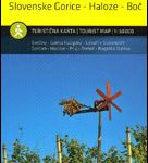 Stajerska – Slovene Hills – Haloze – Boc Kartografija Tourist Map
 The Hills of Edinburgh Signature Hike
 John Merrill`s Surrey Hills Challenge Walk: 23 Mile Circular Challenge Walk Over the S.E. England`s Highest Hills, from Abinger
 Ochil Hills Harvey Superwalker XT25
 The Hills of Leicestershire & Rutland: A Guide to Walking
 Australia De Long Wine Map
 Addington Hills & Croham Hurst 1895
 Wales Hill Walking – Volume 2 – Ffestiniog Hills – Tarrens
 Admiralty Chart 2974 – Adelaide Island to Neny Fjord
 Admiralty Chart AUS780 – Port Adelaide to Backstairs Passage
Pentland Hills Harvey Ultramap XT40
Admiralty Chart AUS780 – Port Adelaide to Backstairs Passage
Pentland Hills Harvey Ultramap XT40
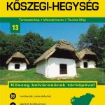 Koszeg Hills Cartographia Tourist Map 13
 Buda Hills Atlas
 Northwood Hills 1935