Disclosure : This site contains affiliate links to products. We may receive a commission for purchases made through these links.
A234 Northeast Coast of St Croix
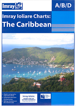
Waterproof navigation chart for the northeast coast of St. Croix. Includes plans of Salt River Bay, Christiansted Harbour and Green Cay Marina.
Related Products:
 A23 Virgin Islands and St Croix
 NOAA Chart 13398 – Passamaquoddy Bay and St. Croix River (Metric) – Beaver Harbour – Saint Andrews – Todds Point
 CHS Chart 4507 – Northeast Coast of Newfoundland
 CHS Chart 4115 – Passamaquoddy Bay and St Croix River
 A14 San Juan to Isla de Vieques and Isla de Culebra
 C15 The Solent
 NOAA Chart 25641 – Virgin Islands’”Virgin Gorda to St. Thomas and St. Croix – Krause Lagoon Channel
 G22 Northeast Aegean Sea
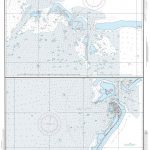 NGA Chart 81809 – Northeast Pass
 St Croix 1767 (53)
 NOAA Chart 14991 – Lac la Croix
 Northeast USA – New York & Great Lakes Borch
 Admiralty Chart 485 – Saint Croix
 India Northeast Reise Know-How
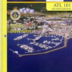 ATL101E Newfoundland, Northeast and East Coasts, 2013 – CHS Sailing Directions
 Y16 Walton To Ipswich & Woodbridge
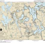 NOAA Chart 14992 – Sand Point Lake to Lac la Croix
 2400 West Country Chart Pack – 2019 edition
 Imray Chart C2: The River Thames
 Admiralty Chart SC5603_6 – Plans on the South Coast of Cornwall
 2200 Solent Chart Pack: Selsey Bill to Poole, Including the Isle of Wight – 2021 edition
 Creux du Van – Ste Croix – Val de Travers – Gorges de l`Areuse Swisstopo Hiking 3303T
 Admiralty Chart Folio 74 – Northeast Pacific Ocean incl. Hawaiian Islands
 2500 The Channel Islands and adjacent coast of France Chart Atlas – 2017 edition
 France Northeast Michelin 707
 CCC Orkney and Shetland Islands: Including North and Northeast Scotland – Edition 2
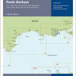 Y39 Poole Harbour – Laminated
 Sunshine Coast – Gibsons – Sechelt – Powell River BC
 Shipwrecks of the Northeast USA
 M36 South Coast of Sicilia to Malta
 Admiralty Chart SC5621_13 – Harbours on the East Coast of Ireland: Dun Laoghaire Harbour – Wicklow – Arklow
 ADMIRALTY Leisure Folio SC 5601 – East Devon & Dorset Coast
 Y45 Plymouth Harbour
 The Jurassic Coast – Lyme Regis to Poole Harbour – Classic Walks – South West Coast Path
 NOAA Chart 19322 – Harbors & Landings on the Northeast & Southeast Coasts of Hawai’i – Honokaa Landing – Honu’apo Bay – Kukuihaele Landing – Punalu’u Harbor
 Recife & Northeast Brazil Footprint Handbook
 CHS Chart 8014 – Grand Bank, Northeast Portion
 ADMIRALTY Leisure Folio SC 5617 – East Coast, Fife Ness to Inverness and the Caledonian Canal
 Shipwrecks of the Northeast USA NGS Wall Map PAPER
 Admiralty Chart 107 – East Coast, Approaches to the River Humber


