Disclosure : This site contains affiliate links to products. We may receive a commission for purchases made through these links.
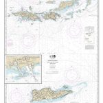
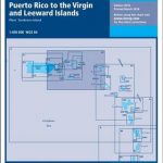
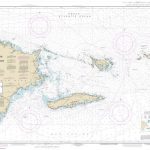
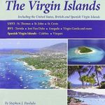
A233 Virgin Islands (Charts A231 and A232 back-to-back without text)
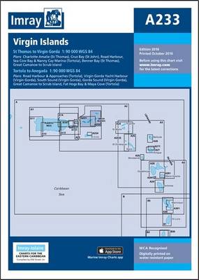
A double-sided chart combining charts A231 and A232 A231 St Thomas to Virgin Gorda Plans included: Charlotte Amalie (St Thomas) (1:30,000) Cruz Bay (St John) (1:20,000) Road Harbour, Sea Cow Bay & Nanny Cay Marina (Tortola) (1:20,000) Benner Bay (St Thomas) (1:20,000) Great Camanoe to Scrub Island (1:20,000) On this 2013 edition, a new plan of Benner Bay (St Thomas) replaces the plan of Virgin Gorda Yacht Harbour (which remains on chart A232). Harbour developments are shown at Road Harbour, and the latest known depths have been applied throughout.A232 Tortola to Anegada Plans included: Road Harbour & Approaches (Tortola) (1:20,000) Virgin Gorda Yacht Harbour (Virgin Gorda) (1:20,000) South Sound (Virgin Gorda) (1:20,000) Gorda Sound (Virgin Gorda) (1:25,000) Great Camanoe to Scrub Island (1:20,000) Fat Hogs Bay & Maya Cove (Tortola) (1:20,000) For this 2013 edition, the plan of Gorda Sound (Virgin Gorda) has been reschemed – the new version has been drawn at a larger-scale of 1:25,000 to show passages more clearly, and to show various marina developments; the plan of Road Harbour & Approaches has been divided into two plans – one of Road Harbour, and one of Fat Hogs Bay & Maya Cove; and the latest known depths have been applied throughout. PLEASE NOTE There are no sailing directions on this double-sided chart.


