Disclosure : This site contains affiliate links to products. We may receive a commission for purchases made through these links.
Disclosure : This site contains affiliate links to products. We may receive a commission for purchases made through these links.
Categories
-
Best Sellers
-

Good Friday: Before Prime Suspect there was Tennison – this is her story
BEFORE PRIME SUSPECT THERE WAS TENNISON.Every legend has a beginning . . . During 1974 and 1975 the IRA subjected London to a terrifying bombing campaign. Read More » -
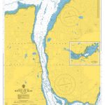
Admiralty Chart 2481 – Sound of Islay / Loch Tarbert
Admiralty standard nautical charts comply with Safety of Life at Sea (SOLAS) regulations and are ideal for professional, commercial and recreational use. Charts within the series Read More » -
SEMAR Chart 612.4 – Corralero, Oaxaca
Official Mexican Hydrographic Office charts (SEMAR – Secretarรญa de Marina Armada de Mรฉxico) offer a great range of scales for ports along the Mexico`s Pacific coast. Read More » -

Admiralty Chart 2532 – Lillebaelt Southern Part
Admiralty standard nautical charts comply with Safety of Life at Sea (SOLAS) regulations and are ideal for professional, commercial and recreational use. Charts within the series Read More » -
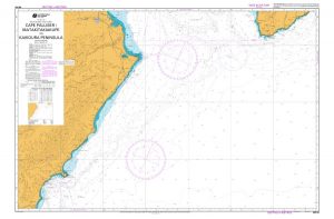
NZ62 Cape Palliser / Matakitakiakupe to Kaikoura Peninsula
Nautical charts for New Zealand, created by Land Information New Zealand (LINZ), are printed on demand at Stanfords after your order is placed and processed. They Read More » -
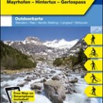
Zillertal – Mayrhofen – Hintertux – Gerlospass K+F Outdoor Map 9
Zillertal – Mayrhofen – Hintertux – Gerlospass area of the Tyrol at 1:50,000 on a GPS compatible, double-sided map from Kรผmmerly+Frey printed on sturdy, waterproof and Read More » -
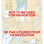
CHS Chart 3668 – Alberni Inlet
The official Canadian charts provide an excellent range of scales for the whole length of Canada`s coastline as well as the Grat Lakes and comply with Read More » -

Eupen Mini-Ardenne
Ardennes Recreational Maps at a scale of 1:25,000 enable you to discover the Ardennes from junction to junction, each associated with a locality, through a network Read More » -
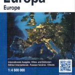
Europe K+F Physical Map
Europe’s network of roads, railways and ferry connections presented by Kรผmmerly + Frey on a map at 1:4,500,000 in a physical version with relief shading to Read More » -

Mindful Thoughts for Runners: Freedom on the trail
“Designed to coach us to see running as a spiritually enriching activity that connects us to our breath, body and the natural world.” – Healthy – Read More »
-


