Disclosure : This site contains affiliate links to products. We may receive a commission for purchases made through these links.
A Map of Medieval London: The City, Westminster and Southwark
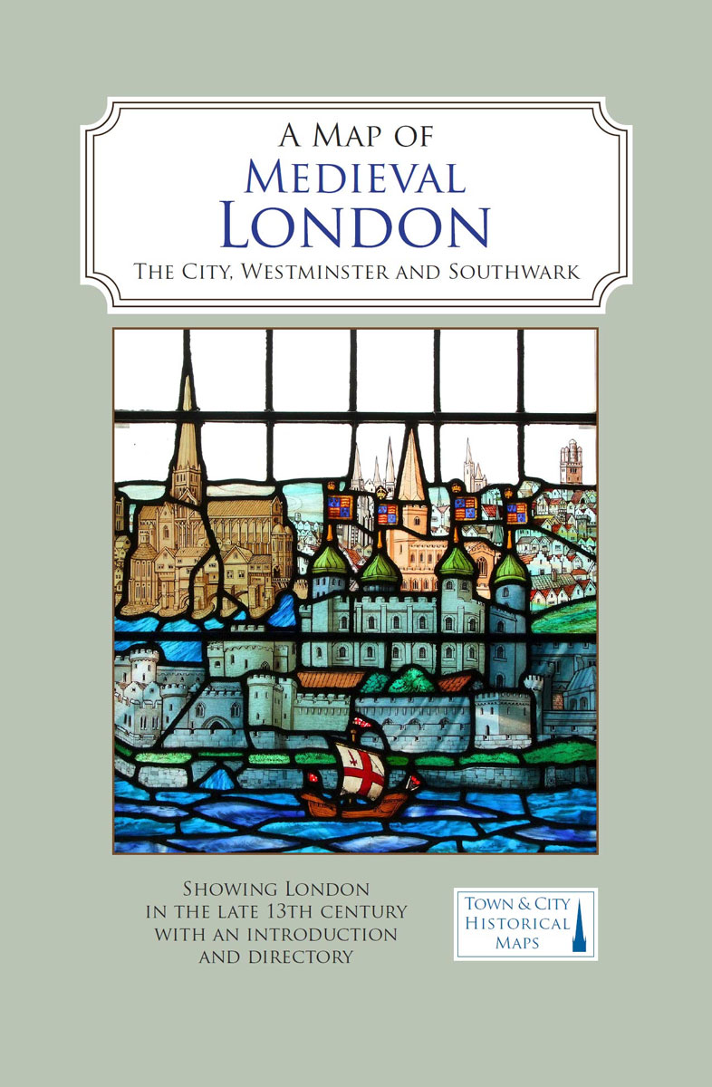
A full colour map showing London about 1270 to 1300 – its walls and gates, parish churches, early monasteries and hospitals, and a growing number of private houses. The city`s streets and alleyways had been established. Dominating London are the Tower of London in the east, the old St Paul`s Cathedral in the west and London Bridge in the south. Up-river in Westminster, the abbey and the royal palace had been well established, and the great Westminster Hall is very evident. London`s playground in Southwark was beginning to grow.

Related Products:
 Panorama Pops – London 3D Expanding City Skyline
 London Keyring – Bus
 London Landmarks Set of Coasters
 London Landmarks Tea Towel
 That Mighty Heart: Visions of London
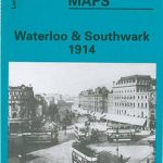 Waterloo & Southwark 1914 – 76.3
 Red Bus Set of 4 Coasters
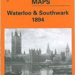 Waterloo & Southwark 1894 – 76.2
 London`s River: Westminster to Woolwich
 Palace of Westminster Greetings Card
 Westminster & Victoria 1916 – 75.3
 London: Southwark Borough Map – Stanfords Print on Demand
 Westminster & Victoria 1894 – 75.2
 Over London
 A Map of Tudor London: England`s Capital City in 1520
 Winston Churchill`s London at War Walk: Follow in the Footsteps of Britain`s Great World War II Prime Minister – Through London`s Historic Westminster and St James`s Areas
 Photographing London – Central London: A photo-location and visitor guidebook: 1: Volume 1 Central London
London: Westminster Borough Map – Stanfords Print on Demand
Photographing London – Central London: A photo-location and visitor guidebook: 1: Volume 1 Central London
London: Westminster Borough Map – Stanfords Print on Demand
 The Story of London – From Roman River to Capital City
 London Landmarks Jigsaw Puzzle – 500 pieces
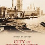 City of Westminster
 The Royal Baby`s Big Red Bus Tour of London
 Paper London: Take a Tour of the City`s Iconic Sights, Then Build Your Own Model Metropolis
 London Underground Jigsaw Puzzle – 1000 pieces
 Westminster: The Biography
 Make Your Own London Landmarks: 5 Models to Construct
 DK Eyewitness Pocket Map and Guide: London
Fodor`s London 2020
DK Eyewitness Pocket Map and Guide: London
Fodor`s London 2020
 London (6): Westminster Pevsner Architectural Guide
Fodor`s London 2021
London (6): Westminster Pevsner Architectural Guide
Fodor`s London 2021
 London Thames Path
 Royal Palaces of London – Pocket Pops
 DK Eyewitness Family Guide London
 London West End A-Z Mini Map
 London Pop-up
 Ladybird Book of London
 Grand Map of London for Diplomats and Merchants
 Royal London
 City of London in the Great War
 Lonely Planet Pop-Up London