Disclosure : This site contains affiliate links to products. We may receive a commission for purchases made through these links.
B5 Martinique to Grenada, Tobago and Barbados Passage Chart
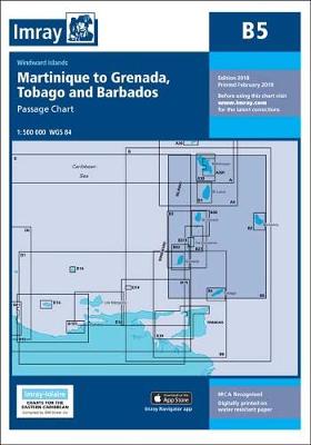
About this series:A series of navigational charts for the coastal waters of the Caribbean. Depths are shown in fathoms and feet, with different sea colouring indicating areas with depths below one, between one and five, and over five fathoms. Each chart contains insets showing local harbours annotated with symbols indicating what facilities can be found there (marinas, mooring and berth facilities, fuel, water, chandlers, etc.). Positions referred to WGS84 Datum can be plotted directly onto these charts. Printed on waterproof paper.

Related Products:
 M23 Adriatic Sea Passage Chart 2020
 B Martinique to Trinidad
 C70 Southern North Sea Passage Chart
 A1 Puerto Rico
 E2 Islas Canarias
 M47 Aeolian Islands
 Y23 Poole Harbour
 B3 Grenadines
 M31 Sicily
 M6 Ile de Corse
 M7 Bonifacio Strait
 M20 Eastern Mediterranean
 G23 Marmara Denizi
 M9 South Sardegna SUPERCEDED
 M9 South Sardegna
 M29 Golfo di Taranto
 M45 Tuscan Archipelago
 M25 Otok Rab to Sibenik
 M50 Sardegna to Ionian Sea
 G22 Northeast Aegean Sea
 G21 Northwest Aegean Sea
 M32 Adriatic Italy South
 A271 Antigua North Coast
Imray C Charts: Northwest Europe
A271 Antigua North Coast
Imray C Charts: Northwest Europe
 G1 Mainland Greece and the Peloponnisos
 M22 Egypt to Israel, Lebanon and Cyprus
 M19 Capo Palinuro to Punta Stilo
 G11 North Ionian Islands
 M12 Cabo de Gata to Denia & Ibiza
 M34 Golfo di Venezia
 M12 Cabo de Gata to Denia & Ibiza SUPERCEDED
 E4 Arquipelago de Cabo Verde SUPERCEDED
 C20 Gibraltar to Acores and Islas Canarias
 M33 Adriatic Italy North
 C49 Ria de Aveiro to Sines
 C18 Western Approaches to the English Channel & Biscay
 C37 Raz de Sein To Benodet
M21 South Coast of Turkey, Syria, Lebanon & Cyprus
C37 Raz de Sein To Benodet
M21 South Coast of Turkey, Syria, Lebanon & Cyprus
 G3 Aegean Sea (South)
 C4 Needles Channel to Bill of Portland