Disclosure : This site contains affiliate links to products. We may receive a commission for purchases made through these links.
Lake District National Park Aerial Map
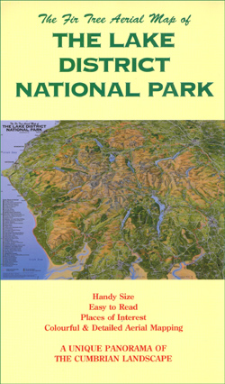
The Fir Tree Aerial Map of the Lake District National Park is a hand-painted, full colour, folded panoramic reference map of the Cumbrian landscape. Cartography has been produced based on a combination of Ordnance Survey maps and aerial photography, using an oblique angle that compresses the scale between the foreground and the horizon.A panorama of the road network, with A roads numbered, has been included in the landscape, as have railway lines and stations. Forty eight places of interest are pinpointed on the map, including Wordsworth House, Windermere Lake Cruises, Jennings Brewery, the World of Beatrix Potter and the Laurel and Hardy Museum. The locations of tourist information centres, seasonal and non-seasonal, are shown. Topographic features include a thorough selection of spot heights, landscape feature names (forests, lakes, fells, crags etc) and more major place names.


