Disclosure : This site contains affiliate links to products. We may receive a commission for purchases made through these links.
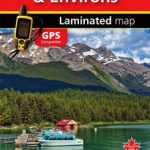
New Brunswick – Prince Edward Island FastTrack
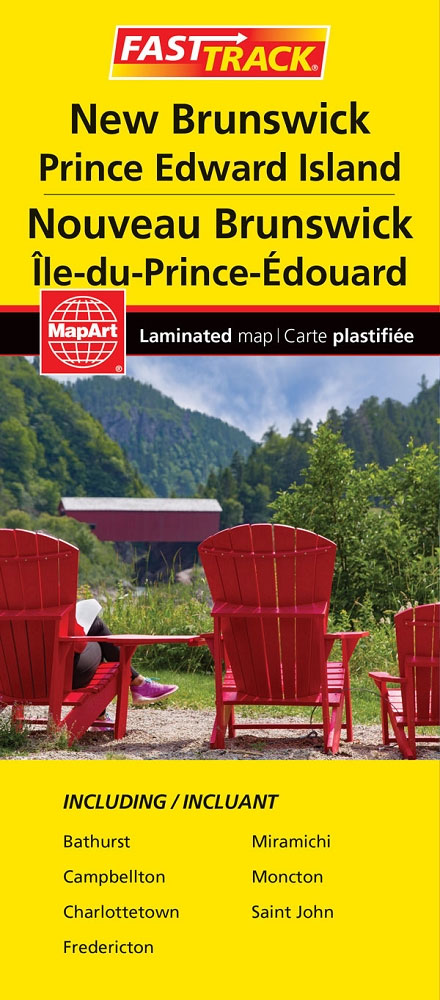
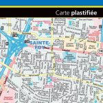
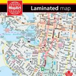
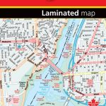
Waterproof and tear-resistant FastTrack map presenting in a handy-size format indexed road maps of New Brunswick and Price Edward Island, both at 1:667,000, plus enlargements showing main urban areas in greater detail.New Brunswick is covered on two overlapping panels, with Prince Edward Island presented separately. The maps show road network indicating unpaved roads and give driving distances on main routes. National parks and protected areas are prominently highlighted and symbols indicate campsites, visitor information centres, historic sites, etc. The maps have no geographical coordinates. Enlargements present in greater detail Saint John (1:125,000) plus Bathhurst, Fredericton, Campbelton, Charlottetown, Moncton and Miramichi (all at 1:100,000). A separate panel at 1:667,000 covers the nearby Iles-de-la-Madeleine. Also provided is a list of the regional ferry operators.To see the list of currently available Canadian province and regional maps form the MapArt / Canadian Cartographics Corporation / JDM Gรฉo publishing group, including waterproof and tear-resistant FastTrack titles, please click on the series link.


