Disclosure : This site contains affiliate links to products. We may receive a commission for purchases made through these links.
Peninsular Malaysia Periplus Travel Map
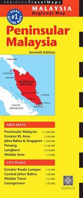
Peninsular Malaysia at 1:1,000,000 on a double-sided map from Periplus, with large street plans central Kuala Lumpur, Melaka and Johor Bahru, plus enlargements of the Greater KL and the Singapore/Johor Bahru areas, Penang and Langkawi.Peninsular Malaysia is shown on one side of the map at 1:1,000,000. The network of main and selected local roads and railways is presented on a base with bold relief shading/colouring and spot heights for the main peaks. Local airports are marked and main places of interest highlighted, such as historic sites, beach resorts, diving sites and national parks. The mapping also shows internal administrative divisions with names of the provinces. Latitude and longitude lines are drawn at intervals of 1ยฐThe map is surrounded by insets showing in greater detail the Greater Kuala Lumpur area (1:230,000); Singapore Island and the adjoining part of the mainland around Johor Barhu (1:220,000); the environs of Melaka at 1:75,000; the islands of Penang (1:140,000) and Langkawi (1:210,000); plus a street plan of central Georgetown at 1:20,000.The reverse side it taken by three street plans: the greater Kuala Lumpur area (1:33,000); central Johor Bahru (1:20,000); plus Melaka Town (1:15,000). The plans indicate main traffic arteries and show numerous places of interest and facilities, including selected hotels and restaurants, banks, taxi ranks, petrol stations and car parks, museums, embassies, etc. For Kuala Lumpus there is also a diagram of the city’s railway network.None of the maps or street plans are indexed.

Related Products:
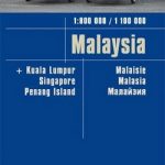
 Malaysia Periplus Travel Map
 Malaysia West – Singapore Nelles
 Malaysia ITMB
 Malaysia – Brunei Nelles
 A Naturalist`s Guide To Butterflies of Malaysia (2nd edition): Peninsular Malaysia, Singapore and Southern Thailand
 Enchanting Malaysia
 Birds of Peninsular Malaysia and Singapore
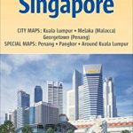
 Singapore Periplus Travel Map
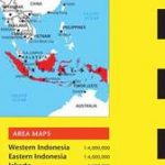 Indonesia Periplus Travel Map
 Lonely Planet Malaysia, Singapore & Brunei
 Malaysia F&B
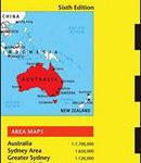 Australia Periplus Travel Map
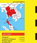 Thailand Periplus Travel Map
 Malaysia Reise Know-How
 Malaysia Odyssey Map
 Hong Kong & Macau Periplus Travel Map
 Kuala Lumpur Flexi Map
 Malaysia Periplus Wall Map
 Laos Periplus Travel Map
 China Periplus Travel Map
 Cambodia Periplus Travel Map
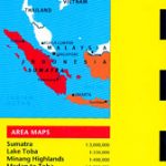 Sumatra – Medan Periplus Travel Map
 Java & Bali Periplus Travel Map
 Insight Guides Malaysia
 CultureShock! Malaysia: A Survival Guide to Customs and Etiquette
 Bali Periplus Travel Map
 India Periplus Travel Map
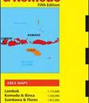 Lombok & Komodo Periplus Travel Map
 Okinawa & the Ryukyu Islands Periplus Travel Map
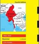 Myanmar / Burma Periplus Travel Map
 Borneo – Malaysia East – Brunei – Kalimantan Nelles
 Sri Lanka Periplus Travel Map
 Lonely Planet Pocket Kuala Lumpur & Melaka
 Lonely Planet Best of Malaysia & Singapore
 Kuala Lumpur & Malay Peninsula ITMB
 Shanghai Periplus Travel Map
 The Rough Guide to Malaysia, Singapore and Brunei
 Wild Malaysia
 Admiralty Chart 4044 – Singapore and Malaysia – Johor Strait; Eastern Part
 Middle East ITMB Travel Atlas