Disclosure : This site contains affiliate links to products. We may receive a commission for purchases made through these links.
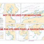
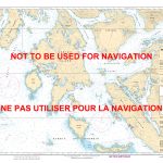
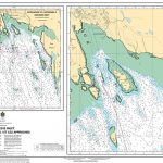
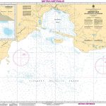
CHS Chart 3312 – Jervis Inlet & Desolation Sound and Adjacent Waterways
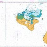
****CHS are revising the current 2007 edition, which will be soon out of date. Publication date not announced yet.****This is a spiral bound chart book with 24 pages of nautical charts & 14 informational pages. Includes coverage for the Jervis Inlet & Desolation Sound area including – Texada Island, Lasqueti Island, Sechelt, Qualicum Beach, Campbell River, East Thurlow Island, Bute Inlet and Toba Inlet. The official Canadian charts provide an excellent range of scales for the whole length of Canada`s coastline as well as the Grat Lakes and comply with Safety of Life at Sea (SOLAS) regulations. PLEASE NOTE: Canadian Hydrographic Service charts are ordered on demand, please allow 1-2 weeks for the order to arrive at Stanfords.


