Disclosure : This site contains affiliate links to products. We may receive a commission for purchases made through these links.
Admiralty Chart 3186 – Houston Ship Channel Pelican Island to Barbours Cut
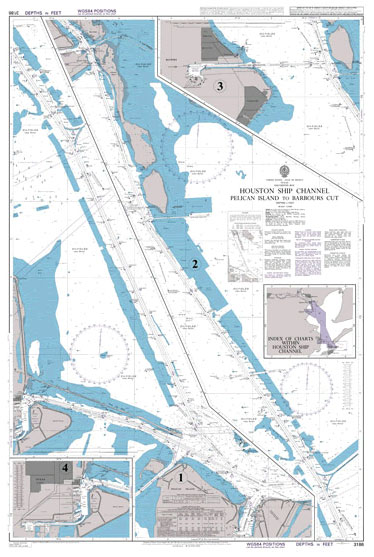
NEW EDITION OUT ON 01/04/2021Admiralty standard nautical charts comply with Safety of Life at Sea (SOLAS) regulations and are ideal for professional, commercial and recreational use. Charts within the series consist of a range of scales, useful for passage planning, ocean crossings, coastal navigation and entering port.Standard Admiralty charts are folded to fit in a chart table drawer. If you prefer your Admiralty charts rolled without any folds or creases (suitable for framing), contact us before ordering on +44(0)207 759 7150 or maritime@stanfords.co.uk.
Related Products:
 Admiralty Chart 3187 – Houston Ship Channel Barbours Cut to Carpenters Bayou
 Admiralty Chart 3188 – Houston Ship Channel Carpenters Bayou to Houston Turning Basin
 Admiralty Chart AUS316 – Charles Point to Pelican Island
 Admiralty Chart AUS318 – Pelican Island to Penguin Shoal
 Admiralty Chart AUS292 – Adolphus Channel to Prince of Wales Channel
 Admiralty Chart 1121 – Irish Sea with St George`s Channel and North Channel
 Admiralty Chart 3851 – Ship Shoal to Pensacola Bay
 Admiralty Chart 2675 – English Channel
 Admiralty Chart 4954 – Vancouver Island, Haro Strait, Boundary Pass and Satellite Channel
 Admiralty Chart 3850 – Galveston Bay to Ship Shoal
 Admiralty Chart 445 – Lemaire Channel
 Admiralty Chart 451 – Grandidier Channel
 Admiralty Chart AUS293 – Prince of Wales Channel
 Admiralty Chart 2833 – Yucatan Channel
 Admiralty Chart 1063 – San Pedro Channel
 Admiralty Chart 2958 – Old Bahama Channel
 Admiralty Chart 193 – Islands in the Sicilian Channel
 Admiralty Chart AUS742 – Rosemary Island to Barrow Island
 Admiralty Chart 386 – Yadua Island to Yaqaga Island
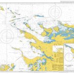 Admiralty Chart 2514 – New Island to Pebble Island
 Admiralty Chart 1073 – Dundonald Channel to Hamilton Harbour
 Admiralty Chart NZ6154 – Tory channel Entrance and Picton Harbour
 Admiralty Chart 3478 – Manchester Ship Canal and Upper River Mersey
 Admiralty Chart 4751 – Egg Island to West Ironbound Island
 Admiralty Chart 4652 – Palmyra Island to Starbuck Island
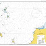 Admiralty Chart AUS776 – Williams Island to Winceby Island
 Admiralty Chart AUS824 – Penrith Island to Whitsunday Island
 Admiralty Chart 4427 – Dalupiri Island to Batan Island
 Admiralty Chart PNG512 – Misima Island to Bonvouloir Island
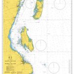 Admiralty Chart 3310 – Mafia Island to Pemba Island
 Admiralty Chart 1410 – Saint George`s Channel
 Admiralty Chart AUS173 – D`Entrecasteaux Channel
 Admiralty Chart 1179 – Bristol Channel
 Admiralty Chart 3289 – Bonny River, Port of Onne and Notore Channel
 Admiralty Chart 1419 – Coco Channel and Northern Approaches to Port Blair
 Admiralty Chart IN2059 – Kandla Sogal Channel
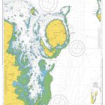 Admiralty Chart 488 – Makogai Channel to Nasilai Reef
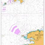 Admiralty Chart 2655 – English Channel, Western Entrance
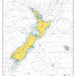 Admiralty Chart 4600 – New Zealand including Norfolk Island and Campbell Island
 Admiralty Chart 1879 – Rathlin O`Birne Island to Aran Island


