Disclosure : This site contains affiliate links to products. We may receive a commission for purchases made through these links.
Chemins de St. Jacques: Toulouse – Jaca – Lourdes GR653/GR101/GR78
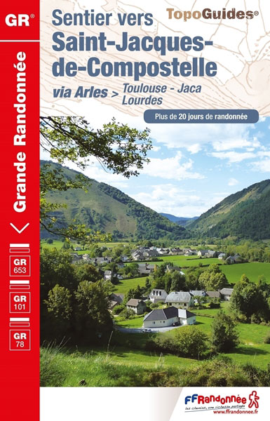
The last stretch of the Toulouse route before reaching Spain and the Camino Frances.Chemins de St. Jacques: Toulouse – Jaca, FFRP topoguide Ref. No. 6534, covering one of the southern routes of the Way of St. James in France: from Toulouse along the GR 653, with variants through Pau or Tarbes, across Col du Somport to Jaca in the Spanish Pyrenees Current edition of this title was published in May 2017.Describing the last portion of Via Tolosana, this guide will lead pilgrims and hikers from Toulouse to Jaca in Spanish Aragon. You will cross the barrier of the Pyrenees by the Somport pass (1,632 m of altitude), crossing point the highest routes jacquaires.After leaving the pink city and admiring the Basilica of St. Sernin, the largest Romanesque church in the world, you will cross the Gascony and its villages in cascades, furrowed pousterles or alley stairs. In Auch, there will be a stop at Sainte-Marie Cathedral, a World Heritage Site.You will then walk the trails bordered with heather and broom of the “white country” of Armagnac where the marsh turtle, the European genet and various species of herons evolve. Your steps will then take you to Bรฉarn, a green paradise studded with old houses with ocher stone walls and age-old timber frames.You will then arrive at the edge of the glacial valleys of Aspe and Ossau, on the edge of the Pyrenees National Park, unique opportunity to observe large raptors such as the bone-cutter vulture, the golden eagle or the tawny vulture.Past the Somport pass, you will cross the province of Huesca, which joins the two highest peaks of the Pyrenees, Aneto and Posets, before reaching Aragon where the medieval bridges alternate with fragments of ancestral pavement.ABOUT THE FFRP (Fรฉdรฉration franรงaise de la randonnรฉe pรฉdestre) TOPOGUIDES: published in a handy A5 paperback format, the guides are the best companions for hiking along the GR routes, France’s extensive network of long-distance footpaths. Each topo-guide covers either a whole route or a part of a longer path (e.g. four titles for the GR 10 along the Pyrenees). The guides have COLOUR extracts from IGN`s 1:50,000 or 1:25,000 topographic survey mapping overprinted with the route, with important points cross-referenced to the accompanying text placed on the adjoining page. The text is in French, but a large amount of information is conveyed by symbols (different types of accommodation, food shops, public transport links, etc). An important feature of each guide is a summary table showing what facilities can be found at each stage of the route, supported by an extensive ‘info practiques” section with more specific information and contact details for recommended accommodation, tourist offices, etc. The guides are published on high quality paper and include descriptions of the most interesting aspects of the surrounding region: historical and cultural sites, local specialties, fauna and flora, etc, all illustrated with colour photos.To see other titles published by the FFRP for long-distance hiking routes please click on the series link.


