Disclosure : This site contains affiliate links to products. We may receive a commission for purchases made through these links.
Hawaii Easy-to-Read Rand McNally
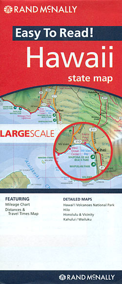
Hawaii East-to-Read map from Rand McNally showing the islands on separate panels but all at the same scale of 1:260,000 approx, with enlargements for Honolulu and Vicinity, Hilo, Kahului ‘“ Wailuku area, and the Hawaii Volcanoes National Park.The islands are presented on four separate panels: Oahu, Hawaii (The Big Island), Kauai with Niihau, plus Maui with Molokai, Lanai and Kahoolawe. Cartography differs from Rand McNally’s standard presentation in state maps, with bold altitude colouring and relief shading to show each island’s topography. Road network indicates unpaved roads and 4-WD tracks. National/state parks and forests are marked and symbols indicate various places of interest including campsites and beaches. The maps have no geographical coordinates. The index includes separate lists of places of interest such as beaches, craters and parks. Also provided is a mileage chart, plus a map of the whole Hawaii archipelago including the islands of the Papahanaumokuakea Marine National Monument from Nihoa to the Midway Islands.For the specifications of other Rand McNally state maps please click on the series link.

Related Products:
 Nebraska Easy-to-Read Rand McNally
 New York State Easy-to-Read Rand McNally
 Idaho Easy-to-Read Rand McNally
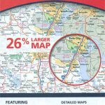
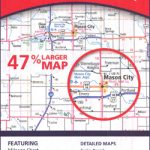 Iowa Easy-to-Read Rand McNally
 Maine Easy-to-Read Rand McNally
 Illinois Easy-to-Read Rand McNally
 Oregon Easy-to-Read Rand McNally
 Alaska Easy-to-Read Rand McNally
 Nevada Easy-to-Read Rand McNally
 Montana – Wyoming Easy-to-Read Rand McNally
 Kentucky Easy-to-Read Rand McNally
Colorado Easy-to-Read Rand McNally
Kentucky Easy-to-Read Rand McNally
Colorado Easy-to-Read Rand McNally
 Alabama Easy-to-Read Rand McNally
Arizona Easy-to-Read Rand McNally
Massachusetts Easy-to-Read Rand McNally
Alabama Easy-to-Read Rand McNally
Arizona Easy-to-Read Rand McNally
Massachusetts Easy-to-Read Rand McNally
 Ohio Easy-to-Read Rand McNally
 Connecticut – Rhode Island Easy-to-Read Rand McNally
 South Carolina Easy-to-Read Rand McNally
 Minnesota Easy-to-Read Rand McNally
 Georgia Easy-to-Read Rand McNally
 Kansas Easy-to-Read Rand McNally
 Virginia Easy-to-Read Rand McNally
 Mississippi Easy-to-Read Rand McNally
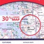 Washington State Easy-to-Read Rand McNally
Tennessee Easy-to-Read Rand McNally
Washington State Easy-to-Read Rand McNally
Tennessee Easy-to-Read Rand McNally
 New Hampshire – Vermont Easy-to-Read Rand McNally
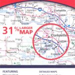 Arkansas Easy-to-Read Rand McNally
 Indiana Easy-to-Read Rand McNally
 Michigan Easy-to-Read Rand McNally
 Louisiana Easy-to-Read Rand McNally
 New Jersey Easy-to-Read Rand McNally
 West Virginia Easy-to-Read Rand McNally
 Pennsylvania Easy-to-Read Rand McNally
 New Mexico Easy-to-Read Rand McNally
North Carolina Easy-to-Read Rand McNally
New Mexico Easy-to-Read Rand McNally
North Carolina Easy-to-Read Rand McNally
 Wisconsin Easy-to-Read Rand McNally
 Utah Easy-to-Read Rand McNally
 Missouri Easy-to-Read Rand McNally
 Delaware & Maryland Easy-to-Read Rand McNally