Disclosure : This site contains affiliate links to products. We may receive a commission for purchases made through these links.
The London County Council Bomb Damage Maps 1939-1945
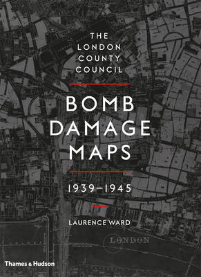
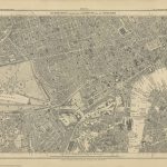
London suffered a great deal of bomb damage between 1939-1945, the impact of which is still evident in its urban and social landscapes. As a key record of the attack, the London County Council Bomb Damage Maps represent destruction on a huge scale, recording buildings and streets reduced to smoke and rubble. The full set of maps is made up of 110 hand-coloured 1:2500. Ordnance Survey base sheets originally published in 1916 but updated by the LCC to 1940. Because they use the 1916 map, they give us a glimpse of a lost London, before post-war redevelopment schemes began to shape the modern city. The colouring applied to the maps records a scale of damage to London’s built environment during the war the most detailed and complete survey of destruction caused by the aerial bombardment. The book contains a colour-coded key that explains the extent of the bomb damage from total destruction to minor in nature. The key is detachable so can be used as a bookmark. There is an overview area map so you can look at the area of London and see the individual corresponding map.Additional chapters cover incidents, statistics, recording ruin, the attack on London and conclude with a chapter on photographing war damage in London that includes large detailed black and white photographs.


