Disclosure : This site contains affiliate links to products. We may receive a commission for purchases made through these links.
Dinosaurs Puzzle 100 Pieces
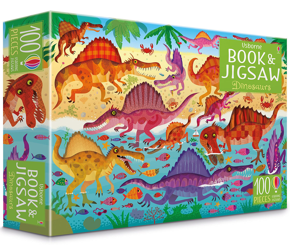
This delightful pack contains a 100-piece jigsaw of a lively dinosaur scene for children to assemble, as well as a 24-page picture puzzle book in which kids can discover a colourful array of prehistoric creatures that used to roam the earth.

Related Products:
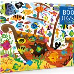 Usborne Jigsaw with a Book: Under the Sea
 Usborne Atlas and Jigsaw Great Britain and Ireland 300 Pieces
 World Geo Jigsaw Puzzle 68 Pieces
 Europe Geo Puzzle 58 Pieces
 Usborne Atlas And Jigsaw Europe – 300 Pieces
 Animals of the World Book and Jigsaw 200 Pieces
 Rebel Girls Jigsaw Puzzle – 500 pieces
 Make and Play Dinosaurs
 The Solar System – Book & Jigsaw Puzzle 200 Pieces
 199 Dinosaurs and Prehistoric Animals
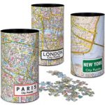
 New York City Puzzle 500 pieces
 299 Cats (and a dog): A Feline Cluster Puzzle
 First Dinosaur Picture Atlas
 London Underground Jigsaw Puzzle – 1000 pieces
 City Puzzle 500 pieces
 The Munros – Jigsaw 1000 Pieces
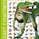 Pocket Eyewitness Dinosaurs: Facts at Your Fingertips
 The Dinosaurs Book
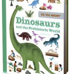 Do You Know?: Dinosaurs and the Prehistoric World
 1,000 Facts About Dinosaurs, Fossils, and Prehistoric Life
 Ultimate Sticker Book Dinosaurs
 Travel Vintage Puzzle 1000 Pieces
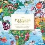 The Mythical World: A Jigsaw Puzzle Filled with Fantastical Creatures
 Deepest Dive 1000 Piece Puzzle with Shaped Pieces
 Japan Map Puzzle: 500-Piece Jigsaw Puzzle
 Lifesize Dinosaurs
 London Landmarks Jigsaw Puzzle – 500 pieces
 Peak District Mazzle – Jigsaw 1000 Pieces
 Ben Nevis & Glen Coe Mazzle – Jigsaw 1000 Pieces
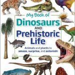 My Book of Dinosaurs and Prehistoric Life: Animals and plants to amaze, surprise, and astonish!
 In The Jungle Book & Jigsaw
 Snowdon Mazzle – Jigsaw 1000 Pieces
 What`s Where on Earth Dinosaurs and Other Prehistoric Life: The amazing history of earth`s most incredible animals
 National Geographic Kids Puzzle Book – Animals: A fact-packed fun book of animal themed puzzles (Puzzle Books)
 Spanish-English Word Puzzle Book
 Cairn Gorm Mazzle – Jigsaw 1000 Pieces
 Skye Cuillin Mazzle – Jigsaw 1000 Pieces
 My Puzzle World (260 pieces)
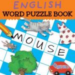 English Word Puzzle Book
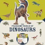 Paperscapes: The Fearsome World of Dinosaurs