Disclosure : This site contains affiliate links to products. We may receive a commission for purchases made through these links.
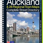
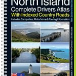
Auckland Complete
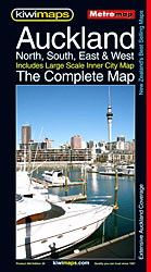
Street plan of the whole of Auckland with enlargements for the city centre, the international airport, and the centres of Takapuna, Manaku, Henderson and Pukekohe, plus a comprehensive street index. The main plan covers the whole area at 1:40,000, showing names of various suburbs and clearly indicating exits from the city onto various tourist routes. One way streets, car parks, railway lines with stations, ferry terminals, public buildings, etc. are marked. A large inset 1:12,500 shows Auckland’s town centre in greater detail. Also included are enlargements, at varying scales, for the international airport and the centres of Takapuna, Manaku, Henderson and Pukekohe, plus for various private village developments. The plans show boundaries of postal districts and postcodes. An unusual feature of the map is an unobtrusive circular radius grid showing distance from the intersection of Victoria and Queen Street.


