Disclosure : This site contains affiliate links to products. We may receive a commission for purchases made through these links.
Islas de Cรญes Natural Park CNIG Map
Isla de Cรญes Natural Park on a contoured and GPS compatible map at 1:25,000 from IGN/CNIG with cartography from their topographic survey of Spain. The map has contours at 10m intervals enhanced by relief shading, plus colouring and graphics to show different types of vegetation, a 1km UTM grid and margin ticks for latitude and longitude. Map legend is in Spanish only. PLEASE NOTE: current edition of this title was published in 1990 ‘“ more recent coverage of the islands off the western coast of Galicia is provided by the ‘Islands of the Galician Coast National Park Map/Guide’ listed in this series.To see other titles in this series please click on the series link.

Related Products:
 Urbasa and Andรญa Natural Park CNIG Map
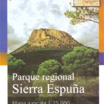 Sierra de Espuรฑa Natural Park CNIG Map
 Bay of Cadiz Natural Park CNIG Map
 Marismas del Odiel Natural Park CNIG Map
Sierra Norte Natural Park CNIG Map
Marismas del Odiel Natural Park CNIG Map
Sierra Norte Natural Park CNIG Map
 Serranรญa de Cuenca Natural Park CNIG Map
 Cabo de Gata-Nรญjar Natural Park CNIG Map
 Sierra de Ancares Natural Park CNIG Map
 Islands of the Galician Coast National Park CNIG Map-Guide SPANISH
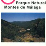 Montes de Mรกlaga Natural Park CNIG Map
 Cabrera and the Adjoining Islands National Park CNIG Map-Guide SPANISH
 Donana National Park CNIG Map-Guide SPANISH
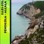 Serra d`Irta Natural Park – Columbretes Islands
 Ceuta CNIG Topo 1110-3
 Sierra de Guadarrama National Park 4-Map and Guide Set CNIG
 Isla de Alegranza CNIG Topo 1079
 Isla de Montana Clara 25K Lanzarote CNIG Topographic Survey Map No. 1079-IV
Isla Redonda CNIG Topographic Map 987-II
Isla Cristina CNIG Topographic Map 998-IV
Timanfaya National Park – Lanzarote CNIG Map-Guide SPANISH
Isla de Alegranza 25K CNIG Topographic Survey Map No. 1079-II
Isla de Montana Clara 25K Lanzarote CNIG Topographic Survey Map No. 1079-IV
Isla Redonda CNIG Topographic Map 987-II
Isla Cristina CNIG Topographic Map 998-IV
Timanfaya National Park – Lanzarote CNIG Map-Guide SPANISH
Isla de Alegranza 25K CNIG Topographic Survey Map No. 1079-II
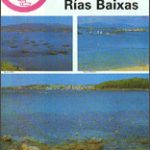 Rรญas Baixas CNIG Map
 Monfragรผe National Park CNIG Map-Guide SPANISH
 Garajonay National Park – Gomera CNIG Map-Guide SPANISH
 Sierra de Marรญa-Los Vรฉlez Natural Park Editorial Piolet
 Cap de Creus Park Natural Editorial Alpina
 Aiguestortes i Estany de Sant Maurici National Park CNIG Map-Guide SPANISH
 Sierra de Huetor Natural Park Editorial Penibetica SPANISH
 Cabaรฑeros National Park CNIG Map-Guide SPANISH
 Isla Conejera / Illa des Conills CNIG Topo 748
La Tablas de Daimiel National Park CNIG Map-Guide SPANISH
Isla Conejera / Illa des Conills CNIG Topo 748
La Tablas de Daimiel National Park CNIG Map-Guide SPANISH
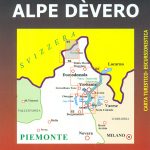 Alpe Dรจvero Natural Park 30K Zanetti Map No. 55
 Somiedo Natural Park – Babia and North Laciana Adrados Map
 Posets-Maladeta Natural Park 2-Map Set Editorial Alpina
 Els Ports Natural Park: Vall-de-roures – Arnes
Teide National Park – Tenerife CNIG Map and Guide Set SPANISH
L`Albera Natural Park
Els Ports Natural Park: Vall-de-roures – Arnes
Teide National Park – Tenerife CNIG Map and Guide Set SPANISH
L`Albera Natural Park
 Cap de Creus Natural Park
Cadรญ-Moixerรณ Natural Park West: la Seu d’Urgell – Vall de la Vansa
Cap de Creus Natural Park
Cadรญ-Moixerรณ Natural Park West: la Seu d’Urgell – Vall de la Vansa
 Caรฑรณn del Rรญo Lobos Natural Park