Disclosure : This site contains affiliate links to products. We may receive a commission for purchases made through these links.
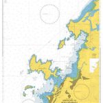
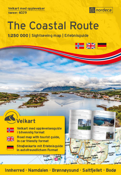
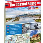
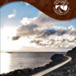
The Coastal Route Nordeca Sightseeing Map 6029

Related Products:
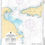
 The Coastal Route Nordeca Sightseeing Map 6009
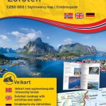
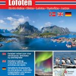 Lofoten Nordeca Sightseeing Map 6002
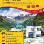
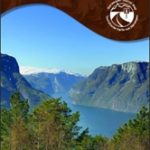
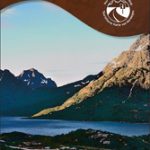
 The Fjords Nordeca Sightseeing Map 6004
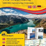
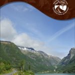
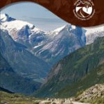
 The Mountains Nordeca Sightseeing Map 6005
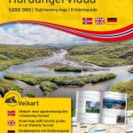
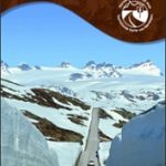
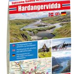 Hardangervidda Nordeca Sightseeing Map 6008
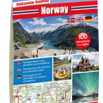 Norway Nordeca Sightseeing Map 6010
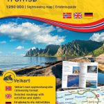 Tromsรธ Nordeca Sightseeing Map 6021
 Lofoten Nordeca Sightseeing Map 6022
 The Fjords Nordeca Sightseeing Map 6024
 The Mountains Nordeca Sightseeing Map 6025
 Hardangervidda Nordeca Sightseeing Map 6028
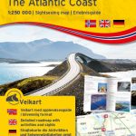
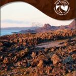
 The Atlantic Coast Nordeca Sightseeing Map 6006
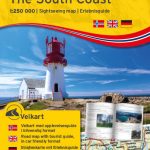
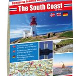 The South Coast Nordeca Sightseeing Map 6007
 The Atlantic Coast Nordeca Sightseeing Map 6025
 The South Coast Nordeca Sightseeing Map 6027
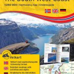
 The South West Coast Nordeca Sightseeing Map 6003
 The South West Coast Nordeca Sightseeing Map 6023
 Norway: Nordeca Sightseeing Maps
 Tromsรธ – Senja – Kvalรธya – Tromsรธ – Lyngen Nordeca Sightseeing Map 6001
 Camino Portugues: Porto to Santiago: Coastal Route
 Portugal`s Rota Vicentina: Alentejo and Algarve coastal route
 Ryfylke Nordeca Tourist Route 20002
 Aurlandsfjellet Nordeca Tourist Route 20005
 Valdresflye Nordeca Tourist Route 20006
 Gaularfjellet Nordeca Tourist Route 20007
 Sognefjellet Nordeca Tourist Route 20008
 Old Strynefjellsvegen Nordeca Tourist Route 20009
 Lofoten Nordeca Tourist Route 20014
 Havoysund Nordeca Tourist Route 20017
 Varanger Nordeca Tourist Route 20018
 Atlantic Road Nordeca Tourist Route 20012
 Helgeland Coast North Nordeca Tourist Route 20013
 Glan-Blies Route – Barbarossa Route – incl Lauertal Route Bikeline Map-Guide Compact
 Camino De Santiago Pilgrim Guides: Camino Portugues 2017 – Porto to Santiago Coastal Route
 International Dollard Route – German Fehn Route Bikeline Map-Guide
 Munich-Venice Long Distance Cycle Route – incl Dolomites Route Bikeline Map-Guide
 Stromberg-Murrtal Cycle Route – Idyllic Route
 Coastal Pub Walks: North Wales: Walks to amazing coastal pubs on the Wales Coast Path
 Garden Route & Route 62 Visitors Guide
 Walking on the Isle of Wight: 24 Coastal and Countryside Walks and the Isle of Wight Coastal Path