Disclosure : This site contains affiliate links to products. We may receive a commission for purchases made through these links.
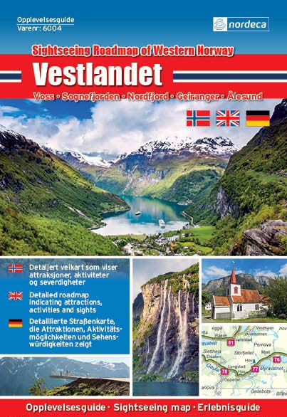
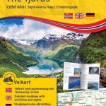
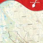
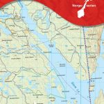
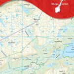
The Fjords Nordeca Sightseeing Map 6004
#NAME?
Related Products:
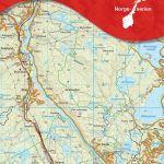
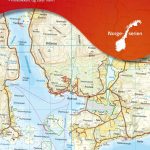
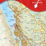
 The Fjords Nordeca Sightseeing Map 6024
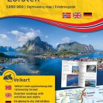
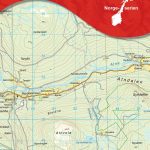
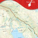
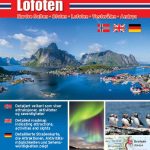 Lofoten Nordeca Sightseeing Map 6002
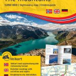
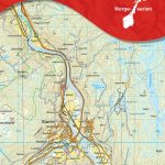
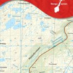
 The Mountains Nordeca Sightseeing Map 6005
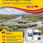
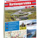 Hardangervidda Nordeca Sightseeing Map 6008
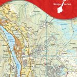
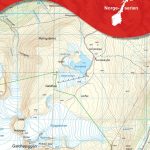
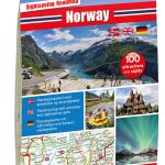 Norway Nordeca Sightseeing Map 6010
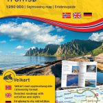 Tromsรธ Nordeca Sightseeing Map 6021
 Lofoten Nordeca Sightseeing Map 6022
 The Mountains Nordeca Sightseeing Map 6025
 Hardangervidda Nordeca Sightseeing Map 6028
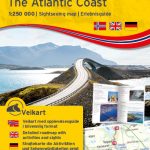
 The Atlantic Coast Nordeca Sightseeing Map 6006
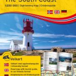
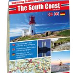 The South Coast Nordeca Sightseeing Map 6007
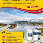
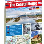 The Coastal Route Nordeca Sightseeing Map 6009
 The Atlantic Coast Nordeca Sightseeing Map 6025
 The South Coast Nordeca Sightseeing Map 6027
 The Coastal Route Nordeca Sightseeing Map 6029
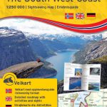
 The South West Coast Nordeca Sightseeing Map 6003
 The South West Coast Nordeca Sightseeing Map 6023
 Norway: Nordeca Sightseeing Maps
 Tromsรธ – Senja – Kvalรธya – Tromsรธ – Lyngen Nordeca Sightseeing Map 6001
 Western Fjords
 Iceland Western Fjords
 Patagonian & Fuegian Channels – Chilean Fjords Cruise Chart
 Sightseeing
 Paddington – Sightseeing Adventure Board Game
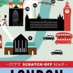 City Scratch-off Map: London: A Sightseeing Scavenger Hunt
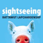
 The Dark Tourist: Sightseeing in the world`s most unlikely holiday destinations
 รyer Nordeca 10058
 Lom Nordeca 10064
 ร…re Nordeca 10092
 Bardu Nordeca 2599
 Lysefjorden Nordeca 2681
 Kristiansand Nordeca 10002
 Store Le Nordeca 10021
 Askvoll Nordeca 10053
 Atndalen Nordeca 10066
 Stรธren Nordeca 10085
 Finnbuliin Nordeca 10098
 Mosjรธen Nordeca 10117
 Skibotndalen Nordeca 10149
 Repparfjorddalen Nordeca 10181