Disclosure : This site contains affiliate links to products. We may receive a commission for purchases made through these links.
India Geographical Wall Map
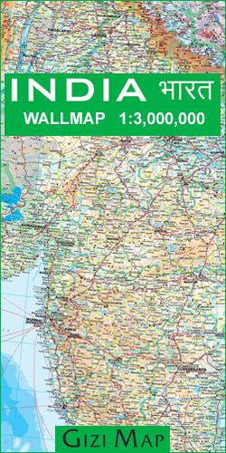
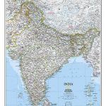
This 86x124cm wallmap is a physical map of India which includes the whole of Nepal, Bangladesh and large sections of Myanmar, Pakistan and Afghanistan. Relief is shown through elevation tinting and spot heights, and some physical features ie. swamps, reefs and glaciers are indicated. Six different types of roads are clearly marked and intermediate road distances are marked on the map.Lines of latitude and longitude are drawn at 2ยฐ intervals. National parks, temples of different religions, museums and buildings of historical interest are all indicated, also main railways, airports, ports & administrative boundaries.Inset maps show the Maldives, Andaman & Nicobar Islands and an administrative map of India. On the reverse is an index of placenames. Legend is in English, German, French, Russian, Hindi and Chinese.


