Disclosure : This site contains affiliate links to products. We may receive a commission for purchases made through these links.
Scotland in 1746
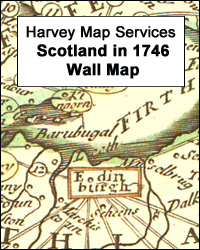
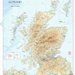
Scotland in 1746, a wall map reproduction from Harvey Map Services of a ‘New Mapp of Scotland or North Britain With Considerable Improvements according to the Newest Observations”, size 101 x 60cm (40″ x 23.5″ approx), with lists of cities and market towns, etc.Printed and sold by the London-based map sellers Thomas and John Bowles, the map shows the division of Scotland into counties. Cities, county towns and market towns are indicated by special colouring and have distances between them shown by straight lines with the mileage marked on them. Shetlands and Orkneys are included on an inset and on the main map it is interesting to see how the shapes of many islands: Skye, Harris and Lewis, etc, differ from the current mapping. The map includes a panel listing towns and shires which send Members of Parliament. Further interest is provided by lists all the towns with five columns of additional information:- The Counties in which they are- The old Division of Scotland- The Distance in Miles from Edinburgh- Showeth what Towns are Navigable and with what – The greatest Ports being marked with S. denoting Shipping. The next V. Vessels of smaller burthen A B. Boats or Barges.- The Members of Parliament Each Town sent before the union


