Disclosure : This site contains affiliate links to products. We may receive a commission for purchases made through these links.
Karakoram SFAR 2-Map Set
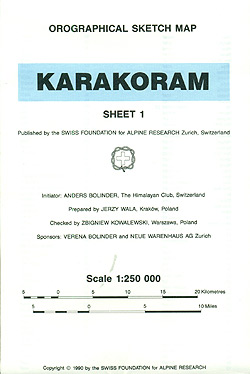
Karakoram on a set of two ridge-type maps at 1:250,000 from the Swiss Foundation for Alpine Research providing an overview of the mountains from Gilgit and the Khunjerab Pass eastwards to the southern point of the Shyok River.The maps show mountain ridges, peaks and valleys in a schematic but fairly clear way. Trekking routes are shown, with settlements along the routes named. Sketch contours appear at intervals of 1220 metres (i.e. 4000 feet) and heights above sea level are given for peaks and passes. The main facilities in larger settlements are marked.The map has latitude and longitude lines at intervals of 30’ respectively. Map legend is in English. On the reverse is an index listing separately towns/villages/landmark features/camping grounds/forts, peaks, passes, glaciers, rivers and lakes. Also provided is a conversion chart between metres and feet.Current edition of this map was published in 1990.

Related Products:
 Pakistan: Leomann Trekking Maps of the Karakoram
 Everest Region Trekking Map
 Langtang and Helambu Trekking Map
 Annapurna Trekking Atlas
 Karakoram – K2 – Gasherbrum – Broad Peak terraQuest Trekking Map
 Kailas – Manasarovar
 Ethiopia & Eritrea ITMB
 Langtang – Gosaikund & Helambu 125K
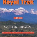 Royal Trek
 North Annapurna Base Camp
 Langtang – Gosainkunda & Helambu 125K
 Mera Peak
 Annapurna Base Camp
 Nepal: Great Himalaya Trail and National Parks (850K)
 Around Annapurna (100K)
 Kenya ITMB
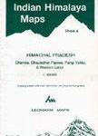 Chamba, Dhauladhar Passes, Pangi Valley & Western Lahul
 Lukla to Gokyo – Cho-La – Renjo-La – Nagpa-La
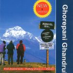 Ghorepani – Ghandruk
 Ama Dablam
 Banff National Park Gem Trek
 Around Annapurna (125K)
 Aasiaat – Saqqarliup – Naternaq – Appannguit
 Northern Tajikistan
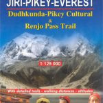 Dudhkunda- Pikey Cultural Trail & Rejno Pass Trail (Jiri – Pikey – Everest)
 Uganda ITMB
 Everest: Jiri to Everest Base Camp
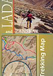 Ladakh and Zanskar Trekking Map
 Banff – Yoho & Kootenay NP Recreation Map & Visitor Guide
 Gosainkunda – Trek to Shiva`s Sacred Lake
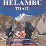 Helambu Trail
Sisimiut
Tasiilaq
Narsaq
Helambu Trail
Sisimiut
Tasiilaq
Narsaq
 Qaqortoq
Ilulissat
Qaqortoq
Ilulissat
 Nuuk
Nuuk
 Pingo
Ivittuut
Nanottalik
Pingo
Ivittuut
Nanottalik