Disclosure : This site contains affiliate links to products. We may receive a commission for purchases made through these links.
Guria-Imereti Geoland Regional 5
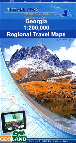
Guria-Imereti Region of Georgia at 1:200,000 on double-sided road map from Geoland with topographic and tourist information, including archeological sites and historic buildings, different denomination churches, rock dwellings, dinosaur footprints, etc.Relief shading with numerous peak heights shows the topography. Road network distinguished between local paved or unpaved roads and includes cart tracks and forest roads. Railway lines are shown with stations. Internal administrative boundaries are marked and presentation of towns and villages shows their administrative status.A wide range of symbols highlight various places of interest including different types of religious establishments, cave dwellings, historical towers and bridges, archaeological sites, wineries, important natural sites including dinosaur footprints, etc. The map has a UTM grid plus latitude and longitude margin ticks at intervals of 20’ and is not indexed. Map legend is in English and all place names are in the Latin alphabet only.To see other titles in this series please click on the series link.


