Disclosure : This site contains affiliate links to products. We may receive a commission for purchases made through these links.
Georgia: Russian Invasion and Occupation Map as of 16.9.2009
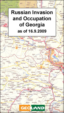
Georgia on a large wall map from the Tbilisi bases Geoland overprinted with information relating to the armed conflict with Russia in 2008, including occupied areas, artillery and air attacks, etc. The base is the publishers’ road map of the country which also shows its administrative division into provinces, including Abkhazia and South Ossetia.Colouring shows territory controlled by the Georgian Government or by the separatist movements prior to 8th August 2008, areas subsequently occupied by Russian forces or subject to ethnic cleansing, etc. Extensive overprint shows various points of conflict, with symbols indicating locations attacked at different stages of fighting, destruction of infrastructure, etc.Map legend is in English.


