Disclosure : This site contains affiliate links to products. We may receive a commission for purchases made through these links.
Saba (Dutch Antilles)
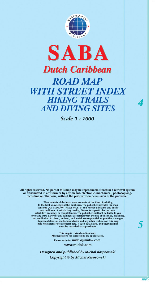
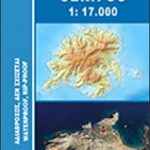
The island of Saba in the Netherlands Antilles at 1:7,000 on a map from the Caribbean-based cartographer Michal Kasprowski highlighting beaches and water sports sites. Topography is presented by contours with hill shading and altitude colouring. The map shows local roads and cart tracks, indicating locations of car parks and petrol stations. Also marked are several hiking trails. Symbols show various places of interest including beaches, diving sites, etc. Latitude and longitude lines are drawn at 30’’ intervals. The index includes a separate list of diving sites. All the information is in English.

Related Products:
 Bonaire
 St. Kitts and Nevis
 Curaรงao
 Aruba
Aruba
 St Eustatius / Statia
 Easter Island & Santiago ITMB
 Cayman Islands & Jamaica ITMB
 Reunion IGN 84974
 Lesser Antilles: Guadeloupe and Martinique
 Anguilla
 Auckland & North Island ITMB
 Providenciales / Provo – Turks & Caicos Islands
 Cuba Gizi Map
 Cuba Wall Map
St-Barthรฉlemy
Cuba Wall Map
St-Barthรฉlemy
 Serifos Anavasi 10.25
 Martinique IGN 84972
New Zealand ITMB
Martinique IGN 84972
New Zealand ITMB
 Sifnos Anavasi 10.26
 New Guinea (Papua New Guinea and Indonesia) ITMB
 Cape Peninsula
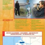
 Dutch Flanders – Ghent
 Cuba ITMB
 Cuba NGS Adventure Map 3112
Senegal
Cuba NGS Adventure Map 3112
Senegal
 Sikinos Anavasi 10.29
 Dominica & Saint Lucia ITMB
 Delta South: Middelburg – Dutch Flanders
Madagascar IGN 85125
Delta South: Middelburg – Dutch Flanders
Madagascar IGN 85125
 Kea / Tzia Anavasi 10.41
 Guatemala NGS Adventure Map 3110
 La Palma F&B WKE2
 Grazute – Sartai Regional Parks Tourist Map
 Isola di San Pietro
 El Hierro F&B
Villasimius – Torre delle Stelle – Costa Rei
Panemuniu – Dubysa – Rambynas Regional Parks
El Hierro F&B
Villasimius – Torre delle Stelle – Costa Rei
Panemuniu – Dubysa – Rambynas Regional Parks
 Sri Lanka Reise Know-How
 Sumatra – Medan Periplus Travel Map