Disclosure : This site contains affiliate links to products. We may receive a commission for purchases made through these links.
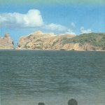
Saint Lucia
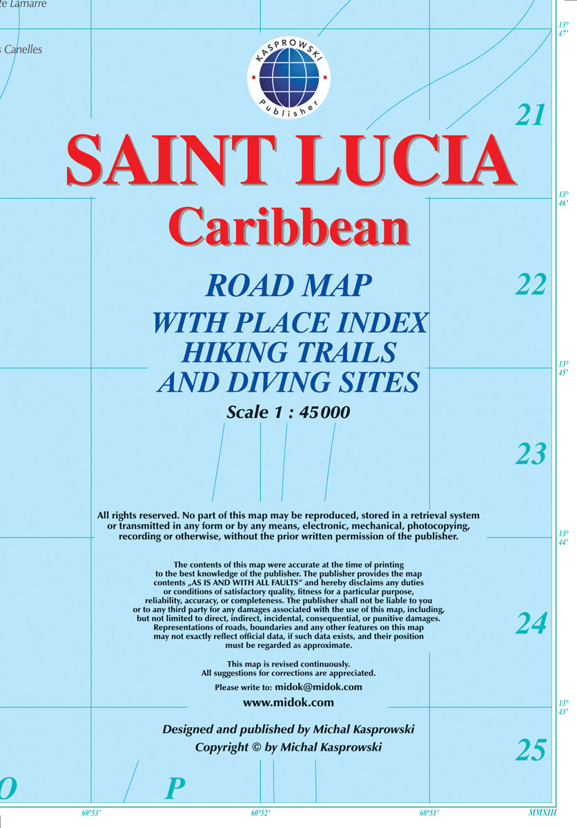
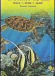
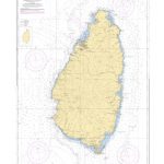
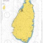
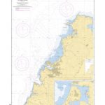
Saint Lucia at 1:45,000 on an indexed map from the Caribbean-based cartographer Michal Kasprowski listing 33 diving sites, plus street plans of Castries, Soufriรจre, Gros Islet and Vieux Fort. Topography is shown by altitude colouring and contours at 50m intervals. Along the coast coral reefs are marked and diving sites are highlighted. Road network includes cart tracks; no driving distances are marked. Latitude and longitude lines are drawn at 1’ intervals. The index is next to the map.The map includes street plans of Castries, Soufriรจre, Gros Islet and Vieux Fort, an administrative map of the island, plus a small map of the Caribbean showing the location of St. Lucia.

Related Products:
 Dominica & Saint Lucia ITMB
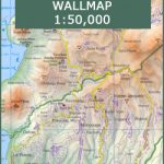 St Lucia Wall Map
 St Lucia Gizi Map
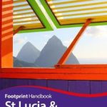 St Lucia & Dominica Footprint Handbook
 B1 St Lucia
 Barbados & Saint Lucia ITMB
 Saint Martin / Sint Maarten
 Saint Lucia & Martinique ITMB
 Aruba
Aruba
 Caribbean Islands East & South ITMB Travel Atlas
 Dominica
 Saint Lucia Flag – 1/2 yard – Printed
 St Lucia
 Bonaire
 SHOM Chart 7629 – De Saint Lucia ร Grenada et Barbados
 Curaรงao
 SHOM Chart 7614L – Saint Lucia – Leisure A4 size
 St. Kitts and Nevis
 Martinique & Guadeloupe ITMB
 SHOM Chart 7631L – De Montserrat ร Saint-Lucia – Leisure A4 size
 SHOM Chart 7622L – Ports de Saint Lucia – Leisure A4 size
 SHOM Chart 7629L – De Saint Lucia ร Grenada et Barbados – Leisure A4 size
 SHOM Chart 7623L – Approches Nord-Ouest de Saint Lucia – Leisure A4 size
 Au Reservoir: A New Mapp and Lucia Novel
 Cuba Michelin
 Saba (Dutch Antilles)
 Flag of Saint Lucia
 SHOM Chart 7614 – Saint Lucia
 St. Martin & Anguilla ITMB
SHOM Chart 7631 – De Montserrat ร Saint-Lucia
SHOM Chart 7622 – Ports de Saint Lucia
St. Martin & Anguilla ITMB
SHOM Chart 7631 – De Montserrat ร Saint-Lucia
SHOM Chart 7622 – Ports de Saint Lucia
 Admiralty Chart 1273 – Saint Lucia
 Admiralty Chart 499 – Harbours in Saint Lucia
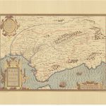
 South Africa – Lesotho – Swaziland ITMB
 Belize & Eastern Guatemala ITMB
 SHOM Chart 7623 – Approches Nord-Ouest de Saint Lucia
 Admiralty Chart 197 – North West Approaches to Saint Lucia
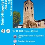 Saint-Hippolyte-du-Fort – Anduze – Saint-Jean-du-Gard IGN 2741ET
 Valle Centrale – Saint-Barthรฉlemy – Saint-Marcel – Val Clavalite L`Escursionista Editore 13
 Cuba ITMB