Disclosure : This site contains affiliate links to products. We may receive a commission for purchases made through these links.
Tallinn Public Transport Map
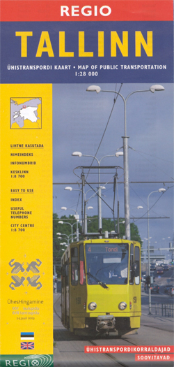
Transport map of Tallinn showing tram, bus and trolleybus routes within the city’s administrative area with line numbers and stops, plus an enlargement of the city centre, street index and list of lines with times of first and last services.On one side is a street plan of the whole city at 1:28,000 overprinted with tram, but and trolleybus routes, all showing line numbers, stops with their names and, where appropriate, the direction of traffic. The city centre is presented in greater detail at 1:8,700. Also included is a map of the parking zones with an explanation how to pay the fee by mobile phone. On the reverse is a street index plus lists of tram, bus and trolleybus lines with operating times, first and last services and frequency.Map legend includes English. The headings in the tables on the reverse are in Estonian.


