Disclosure : This site contains affiliate links to products. We may receive a commission for purchases made through these links.
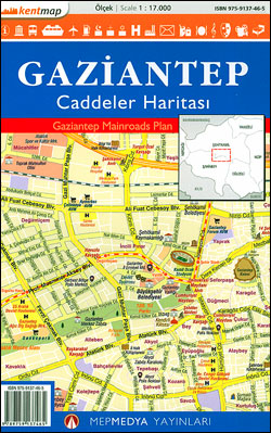
Gaziantep Main Roads Plan

Gaziantep – a town close to the Syrian border, previously and still informally called Antep – on a double-sided street plan at 1:17,000 from the Turkish publishers Mepmedya Yayinlari. The plan covers the town, one of the oldest continually inhabited cities in the world, with its outer disstricts and shows names of larger streets and districts. Various facilities and places of interest and marked, including educational establishments, cultural centres, places of worship, industrial areas, etc. The city’s tram line is shown with stops. There is no index. An inset at 1:30,000 covers the Organize Industrial Zone (GAOSB) north of Gaziantep. Map legend includes English.


