Disclosure : This site contains affiliate links to products. We may receive a commission for purchases made through these links.
Pilgrim Routes in the Florentine Countryside: Western Part
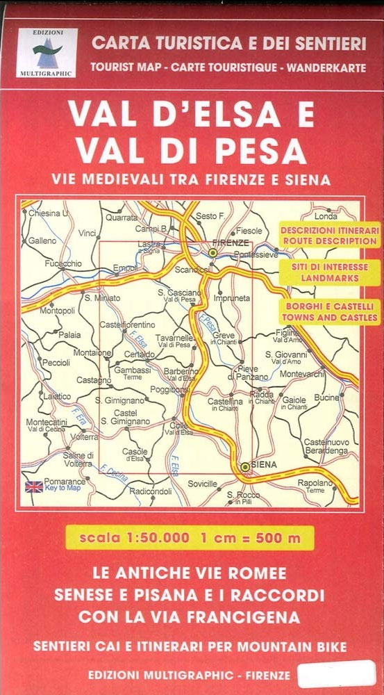
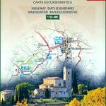
Pilgrim Routes in the Florentine Countryside: Western Part at 1:50,000 is one of two maps from Edizioni Multigraphics highlighting old routes towards Rome, in this title: Via Sanese and Via Pisana, plus a section of Via Francigena.The map covers an area between Florence and Siena and highlights the course of two routes between these cities: Via Sanese directly southwards from Florence through S. Donato in Poggia, plus Via Pisana westwards from Florence to Empoli and then southwards through Castelfiorentino and Poggibonsi. Also marked is the course of the local section of Via Francigena which connects with Via Pisana before reaching Siena.Via Pisana and Via Sanese are provided with bilingual Italian/English notes about their history, stage-by-stage details for hikers and for cyclists of the distance/timing/difficulty, a route profile, and access to various stages by public transport. Also included are notes about Via Francigena.The routes are highlighted on detailed mapping with contours at 50m intervals. Also shown are other waymarked local paths, indicating their CAI (Club Alpino Italiano) numbers. Symbols indicate various places of interest along each route. The map has no geographical coordinates.Also included is a street plan of central Florence highlighting a pilgrims’ route across the city from Porta San Gallo across the Arno to Porta Romana, with brief descriptions of 16 main sights.Map legend and all the text include English.


