Disclosure : This site contains affiliate links to products. We may receive a commission for purchases made through these links.
Sobrarbe Central – Ainsa – Boltana Editorial Alpina
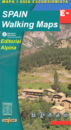
The central part of Aragรณn’s administrative region of Sobrarbe in the Spanish Pyrenees, around Boltaรฑa and Aรญnsa, on a contoured and GPS-compatible map at 1:40,000 from Editorial Alpina, highlighting local and long-distance hiking trails, cycle routes, sites for other recreational activities, etc.Coverage is centred on the towns of Boltaรฑa and Aรญnsa, extending north to include Broto in the north-western corner, and southwards to Abizanda. Topography is presented by contours at 20m intervals enhanced by relief shading, plus colouring to show different types of vegetation or land use. Footpaths indicate routes waymarked as local (PR) or long-distance (GR) hiking trails, and the maps also shows which local cart tracks and trails are can be used as cycle routes. Symbols mark locations of campsites, mountain huts and refuges, gรฎtes and rural hotels, picnic sites, viewpoints, areas for climbing and canyoning, etc. Road network shows locations of petrol stations and car parks. The map has a 5km UTM grid. Map legend includes English. Please note: unlike most other titles in this Editorial Alpina series, this map is not accompanied by a booklet.To see the list of titles in this series please click on the series link.


