Disclosure : This site contains affiliate links to products. We may receive a commission for purchases made through these links.
Travessa 3 Refugis – Caranรงร – Ulldeter – Coma de Vaca Editorial Alpina
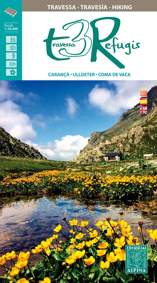
Traverssa 3 Refugis: Caranรงร – Ulldeter – Coma de Vaca map/guide from Editorial Alpina, covering a cross-border hiking route in the Pyrenees joining two mountain refuges in Spain (Ulldeter and Coma de Vaca) with a refuge in France (Ras de Caranรงร ) and the surrounding area.Contour lines at 20m intervals and colouring indicating different types of vegetation and terrain, plus names of peaks and valleys show the topography. Boundaries of protected areas are marked. The map shows local footpaths, with an overprint highlighting the Traverssa 3 Refugis circuit and waymarked long distance trails including the GR10, GR11 and HRP. Symbols mark locations of mountain refuges, campsites, youth hostels, hotels, guest houses and other types of accommodation, ski lifts and cable cars, alpine skiing areas, horse riding facilities, etc. The map has a 1-km UTM grid. Map legend includes English.A 42-page booklet describes the Traverssa 3 Refugis circuit in French, Spanish and Catalan only, and provides contact details for the three refuges.To see the list of all the maps from Editorial Alpina covering long-distance hiking routes please click on the series link.


